Last updated: 21 September 2016, 18:14 (all times in UTC+2)
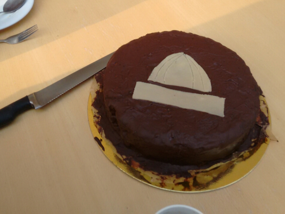
map What have we always said is the most important thing? Breakfast. For this reason, some friends and I have met in the FMI (Faculties of Mathematics and Informatics) building in Garching, where I spent most of the hours of work towards my degree and where I have always found good company when I didn’t feel like getting any work done. I don’t like to skip any excuse to have cake, so here is a good one: I found out that the first day of my hiking trip coincides with the 26th anniversary of Garching’s legal status as a city.
Garching became a city on 14 September 1990, 26 years ago today. As good a reason as any to eat some cake. (Is this more or less of an occasion than the shelf thing?)
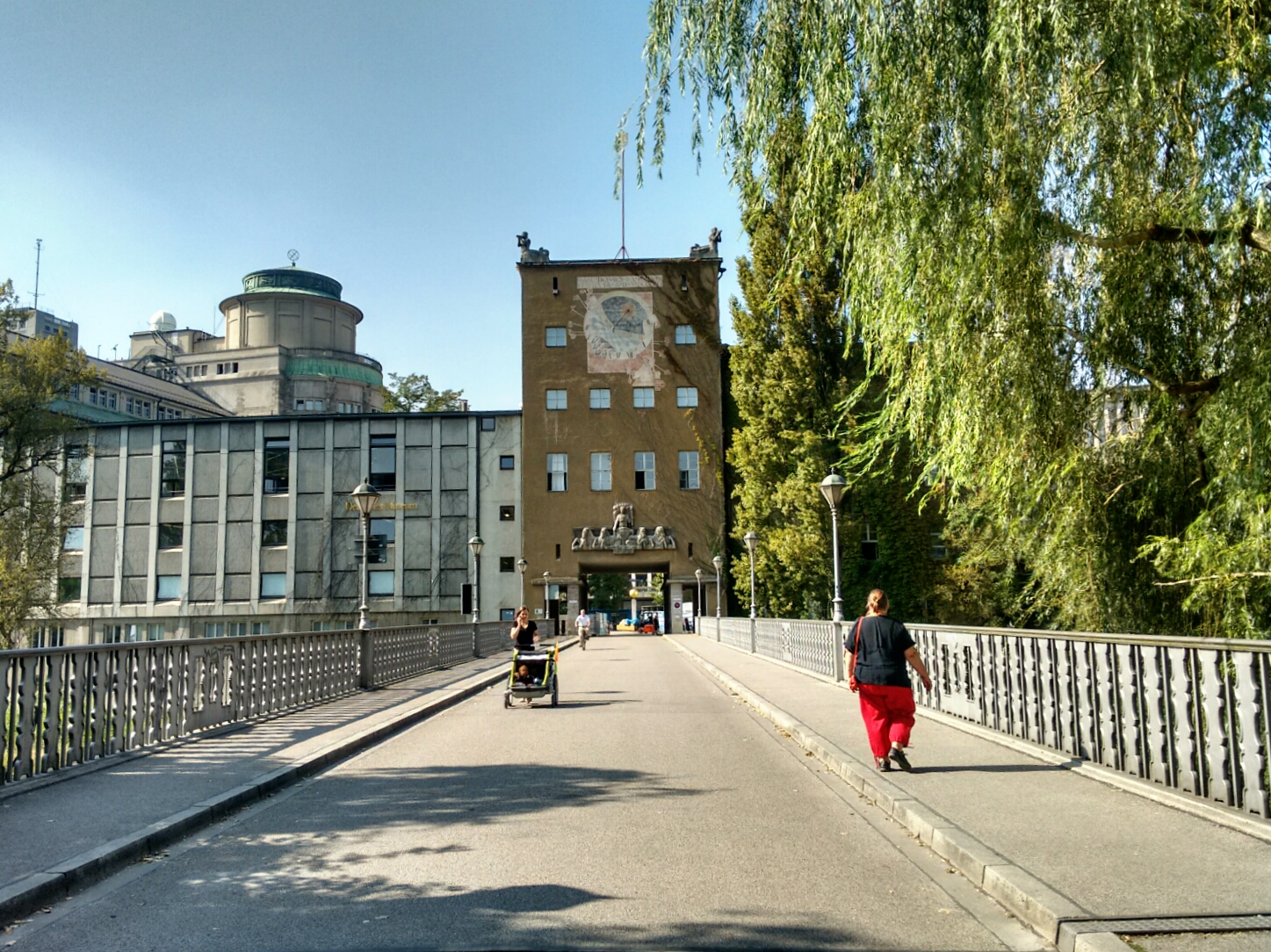
Based on my observations, there are two kinds of students in the department: Those who don’t like this place and those who are here a lot. (The latter group consists of those who go to the library and those who go to the computer lab—it’s a taxonomic hierarchy, really.) One common criticism of FMI is that it looks like a prison. I can see how some might get a Panopticon-like feeling from the layout of this place, but let’s be honest, what kind of prison has a pair of four-story metal slides?
The Parabelrutschen, a pair of parabolic slides at FMI, Garching.

Because this building does. They are a rare example of Kunst am Bau, the German percent for art programme, creating something that’s not just cool to look at, but actually useful. Well, perhaps more fun than useful, but one can return from a seminar on the third floor to the bistro on the ground floor within seconds. Or, in our case, start a 7-day hike with a downhill run. There is a rumour going around that the slides were delivered in one piece each but arrived too late, such that they had to be cut up, carried through the front door, and reassembled inside. The tubes do indeed have visible seams, but like so many things students like to believe about the campus (consider the popular tale in which the nearby Faculty of Mechanical Engineering isn’t located in a house at all, but in a structure which is legally classified as a “paved farm road with a roof”), it’s quite probably nonsense. The math faculty’s page about the history of the slides makes no mention of such a mistake, and the road transport of an object this size would surely have drawn the attention of the news media.
The first train on the U6 underground railway line passes us on the way to Munich. Many more will do so until noon.

map Our first two kilometres follow the railway line from the research and university campus to Garching itself. Unsurprisingly, the town with its 17,000 inhabitants is not the most popular place to live among students. Many prefer to reside in Munich, and since 2006, this is facilitated by the metro system known as U-Bahn. Before that, all users of public transport had to catch a bus to Garching, a situation that seems unimaginable from today’s perspective. Of course the “U” in U-Bahn stands for “Untergrund” (underground), but since there are no buildings and roads in the way out here, this part of the railway line was built above ground. The train that just passed us will be in central Munich more than two hours before we will get there.
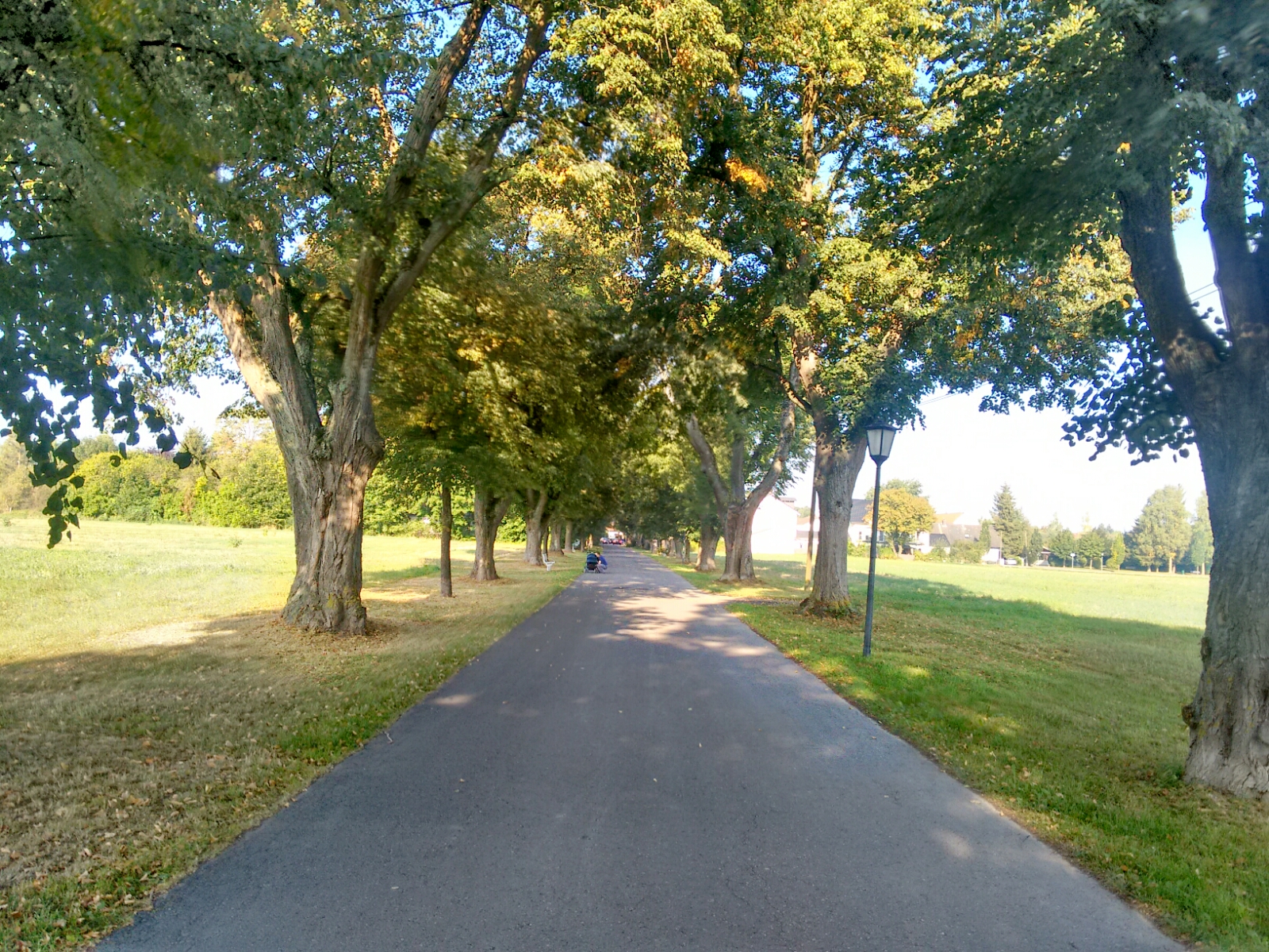
The tree-lined Mühlgasse, connecting the town centre of Garching to its Biergarten.
map After making our way through the settled part of Garching, we cross a busy federal road via a small bridge to reach Schleißheimer Kanal. This canal carries water from the Isar (the main river that flows through Munich, which we will follow upstream today and tomorrow) to a nearby triplet of palaces in Schlosspark Schleißheim. It is part of an elaborate canal system established in the 17th century, which connects three rivers with the purpose of providing some historical mills and two parks around royal palaces (the other being Nymphenburg) with flowing water.
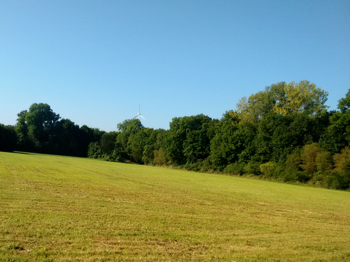
map But now it is time to leave Schleißheimer Kanal and to briefly follow a natural stream, one which has inconspicuously been with us ever since the university campus: Garchinger Mühlbach lies just beyond this gem of a field from where we get an unexpected view of the wind turbine on Fröttmaninger Berg. Almost at the same time, we leave the county of Greater Munich for the capital city.
The wind turbine on top of Fröttmaninger Berg.
map We started from Garching as a group of five: Tobi, David, Tom, Johannes and me. Two of my friends will probably still be with me tomorrow, whereas the others have better things to do this week and are going to go back home in the evening. At the mosque in the Fröttmaninger Auensiedlung we make a brief stop to wait for a sixth person, Christian, who lives in the area and who joins us only for a short while today.
map Garchinger Mühlbach now takes us to the area around Floriansmühle, a residential area of Munich’s Schwabing-Freimann district. It is relatively remote and now quite little-known, except maybe for a major studio of the Bavarian state broadcaster BR, and as the place where the bus 181 does that annoying thing. Until 1994, though, a very popular public outdoor swimming pool fed by the Mühlbach was situated here; today a ruin, the construction of a big residential complex at its site is set to start next year.
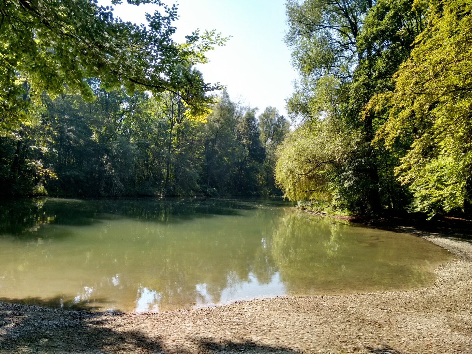
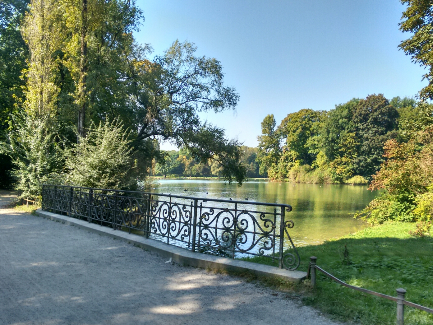
map Just 1.5 kilometres later, we enter Englischer Garten. This 376-hectare public park was established in the late 18th century and turned into a beautiful green space for a growing city over a span of 50 years. The city has managed to hold on to this valuable real estate until today. We will follow its long axis, which takes us right to central Munich without having to use a city street for the next hour of walking. map At a small pond called Schwammerlweiher, Sophie makes our group grow to seven.
The Schwammerlweiher—mushroom pond, if you will—one of a number of artificial lakes in the park. This one lies in the Hirschau, the less manicured northern half of Englischer Garten.
map The Hirschau ends at Isarring, the part of Munich’s most important ring road which cuts right through Englischer Garten and divides it in a northern and southern part. Some people are fighting for a re-unification by moving the road into a tunnel.
Kleinhesseloher See, the biggest lake of Englischer Garten, created with half of today’s size in 1803 and extended in 1807.
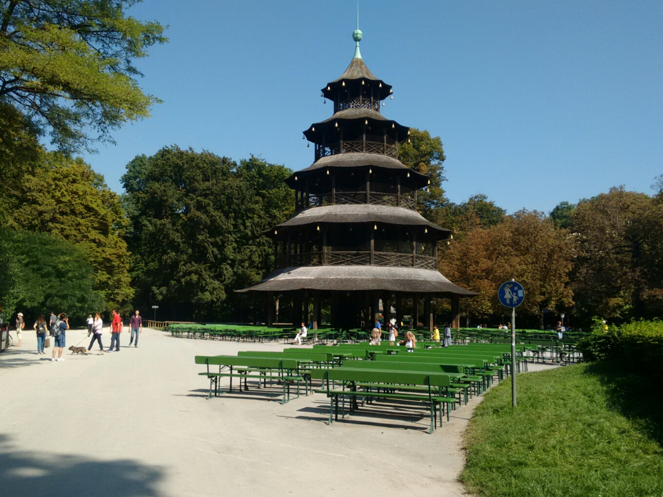
Chinese-style architecture in the south of Englischer Garten. This tower was originally erected in 1790 as a viewing platform; the current structure was rebuilt after its destruction in World War II and is too structurally unsound to allow climbing by the public. It is also the city of Munich’s second-biggest Biergarten.
map And thus we have reached the southern end of Englischer Garten with the famous Eisbach. This is another artificial side arm of the Isar, very popular with surfers and law-defying floaters looking for a quick refreshment in central Munich. (Many of the latter go back upstream by tram to the amusement of unsuspecting tourists.) The part of the city we’re now in is called Lehel. The nearby U-Bahn station of the same name allows you to estimate the place of origin or age of the train driver: When they announce the stop as [ˈlɛxl̩], they’re definitely local (and maybe even know intuitively that it’s the Bavarian diminutive for Lohe, a thin forest); if you hear the now-prevailing spelling pronunciation [ˈle:həl], they’re either not Bavarian, or from Munich proper and too young.
The Eisbach at the southern end of Englischer Garten.

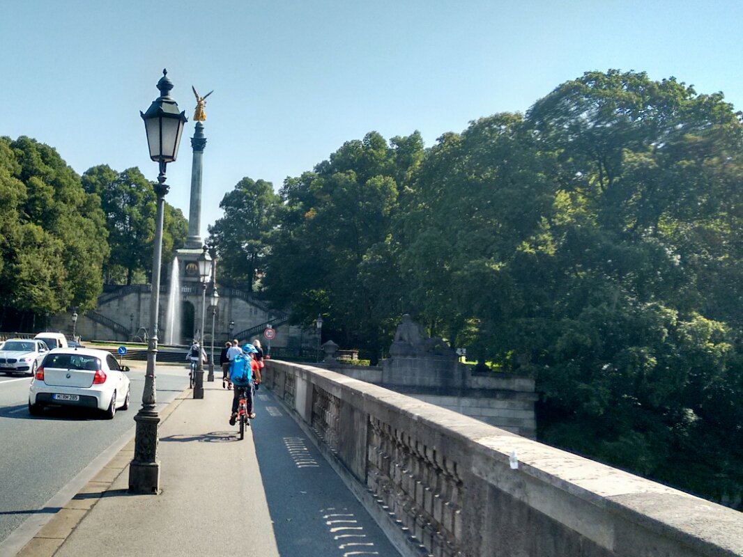
map From this point, we finally change to the other side of the river Isar, to the district of Haidhausen: Both Garching and Englischer Garten are located on the western, left side of the river, as are most of Munich’s land area and population. Haidhausen is on the right side, and it is the location of TUM’s research hospital Klinikum rechts der Isar, at whose Department of Nuclear Medicine I spent most of the last year working on my master’s thesis. It is located on the Isarhochufer, a terrace above the river and one of the few natural elevations in Munich. We get there by crossing over the Luitpoldbrücke, named for the longest-reigning prince-regent of Bavaria who, until his own death in 1912, stood in for the mentally disordered king Otto for 26 years. The beautiful golden Friedensengel (angel of piece) statue beyond the bridge is part of the ensemble along the major street also named for Luitpold, the Prinzregentenstraße. At the same time, it is the centrepiece of another large public park, the Maximiliansanlagen straddling the right bank of the Isar. Named, of course, for another royal, and coincidentally one who went on a “hiking” journey through Bavaria 158 years ago: “We travelled 150 hours on horseback, 60 in the carriage and 15 on foot”, reported his travel companion Wilhelm Heinrich Riehl. “Kings walk differently than ordinary people do.”
Luitpoldbrücke, the bridge connecting the districts of Lehel and Haidhausen, whose border is formed by the river Isar. The Friedensengel statue at the end commemorates 25 years of peace following the Franco-Prussian War in 1870/71.
map The hospital, now called MRI (München rechts der Isar) for short, started small in 1834 with three dozen sick-beds in a disused café. At that point, Haidhausen was an independent municipality. Nowadays, it is a part of Munich (it has been for 150 years), and MRI has grown to a respectable size as an effect of the administrative consolidation: It became a university hospital in 1967 to deal with the large number of medical students with which the other medical faculty could not cope any longer, and its wards now accomodate up to 1100 in-patients. We take a shortcut through the building, using the underground walkways which really creeped out at least one member of our party, and continue to the canteen at the Prinzregententheater: It is lunchtime, and four other people from the department where I did my thesis join us for a meal.
map We say goodbye to Sophie and Christian, continue through Haidhausen and stop for some ice cream at True & 12 (try it if you haven’t!) opposite the Gasteig cultural centre (“cultural enforcement facility” to those who find its architecture uninviting—and that’s the second prison comparison of the day!).
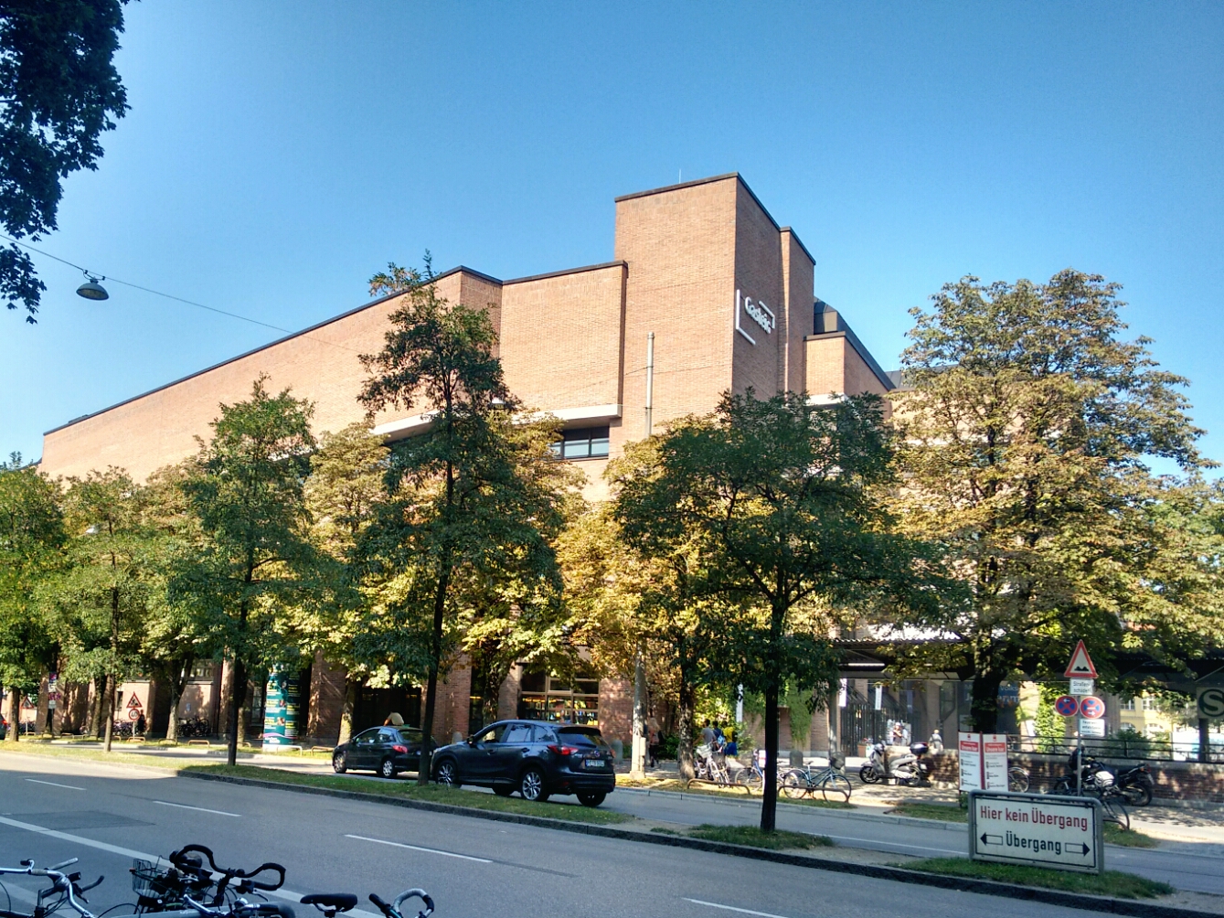
Gasteig, a cultural venue near the river Isar.
map Just around the corner, on an island in the Isar, lies the more universally beloved Deutsches Museum von Meisterwerken der Naturwissenschaft und Technik (German Museum of Masterpieces of Science and Technology). One can get lost in this building for two days and still not have seen it all. At the moment, it’s a tiny bit less daunting, as some exhibits are in storage because of ongoing renovation works which are expected to take ten years.
Deutsches Museum on Museumsinsel, Germany’s biggest museum of science and technology.
map The remainder of today’s route closely follows the right bank of the river Isar. We pass through the Frühlingsanlagen, right in the middle of a great river revitalisation project which was finished five years ago. map We also pay a quick visit to the Schaugärten an der Sachsenstraße, a small show garden operated by the city council. This is not just the perfect place to escape from the hubbub along the Isar on a friendly Saturday and sit down with a book, but also offers displays of thousands of roses (go there in July), poisonous plants, and a touch-and-feel garden for blind and sighted people to enjoy. It’s really cool… but I forgot to take a picture here.
The Frühlingsanlagen are a popular hangout spot in the central-to-southern Munich.
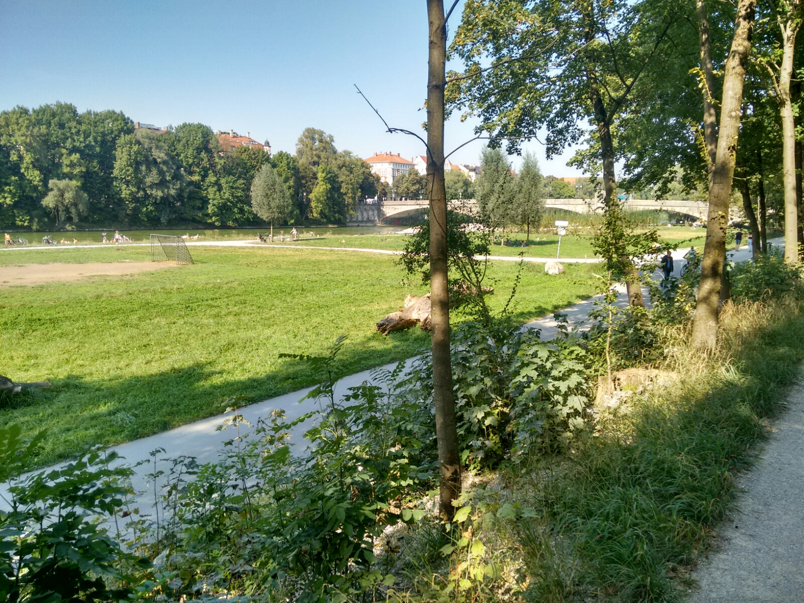
map We leave the confines of the ring road again with Flaucher in view. The park (Flaucheranlagen) around this relatively untouched part of the Isar is a very popular recreational area in the summer, partly because it’s one of the few spots in the city where barbecues are legal on public land. The large number of people comes with seemingly inevitable problems (“you wouldn’t do it at home”), but it’s hard to imagine Munich without this place. We also stop around here and have a half litre of Radler each.
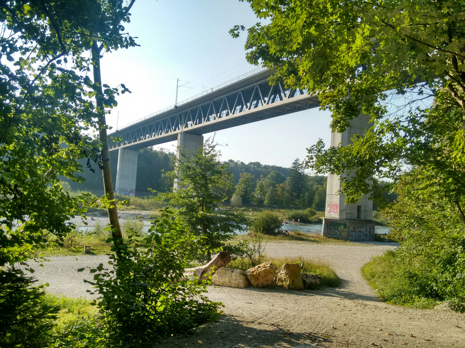
map A short way south from here, we walk along the outer fence of Tierpark Hellabrunn, the zoo of Munich. map Soon afterwards, the terrain visibly starts to change as we enter the Isartal (Isar valley), where the river flows some 50 metres below the banks on either side.
The Isartal with the railway bridge at Großhesselohe, used by regional trains which connect central Munich to the northern Alps.
map We have left the city of Munich again and climb back up onto the terrace on the eastern side of the water. map This takes us to Grünwald, where two of us have found a place to sleep. Lunch feels like it was ages ago and I’m already hungry again. It’s time to say goodbye to Tom (who joined just for the day) and David (who will sleep at home and take public transport back here tomorrow morning) and to rest our legs; the planned 30 kilometres mysteriously turned into 36, and while my feet and legs almost feel like new, Tobi has got a few small blisters and claims to be more exhausted than he’s ever been before. Luckily, we scored a bed with an amazing mattress, and I packed a great number of blister cushions, so these issues might just evaporate over night.
Grünwald, the small town just south of Munich where we spend our first night.
Last updated: 21 September 2016, 18:14
Rechts der Isar, links der Isar