Last updated: 21 September 2016, 18:50 (all times in UTC+2)
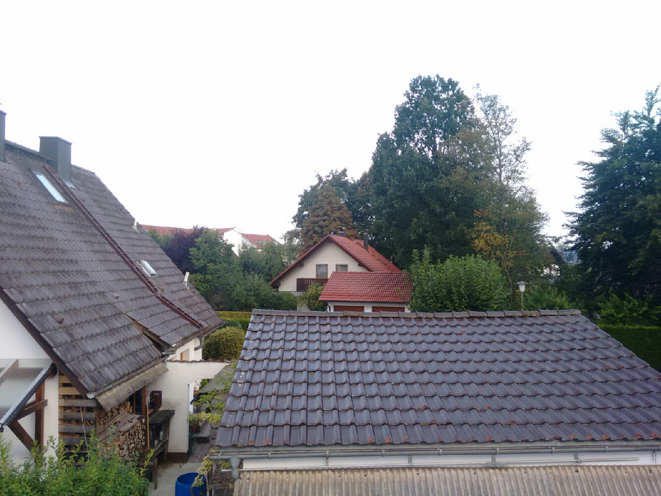
The view from our bedroom window in Geretsried.
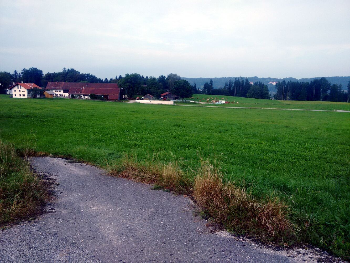
map Yesterday’s hike ended in Geretsried, which is the city with the biggest population in the county of Bad Tölz-Wolfratshausen. As these things often go, there’s a bit of cheating involved, since Geretsried isn’t really one continuous town: When you take a close look at the map, you’ll be able to make out three to four distinct areas of settlement. This reflects its history. The borders of the municipality as it is today were only drawn in 1950 and it indeed comprises multiple settlements which did not grow as one. In World War II, two companies produced explosives here before the city existed as such, and when Geretsried came to be, it was built around and in between these former facilities. Some storage depots, scattered around today’s town, were even converted into housing.
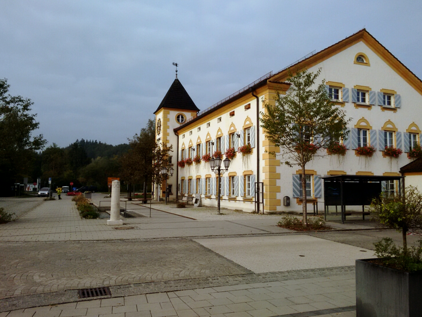
The town hall of Geretsried, at the very edge of the settled area.
map Tobi and I leave Geretsried behind us for a series of tiny hamlets and villages until we reach the our "River of the Day": After two days where we never strayed far from the Isar, its left tributary stream Loisach is our guide today.
Schwaigwall is the first of these hamlets.
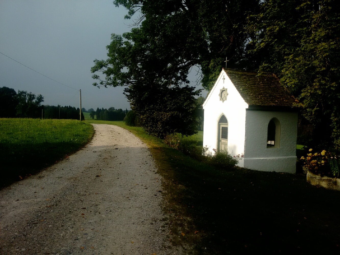
Adelsreuth follows with a little chapel nearby.
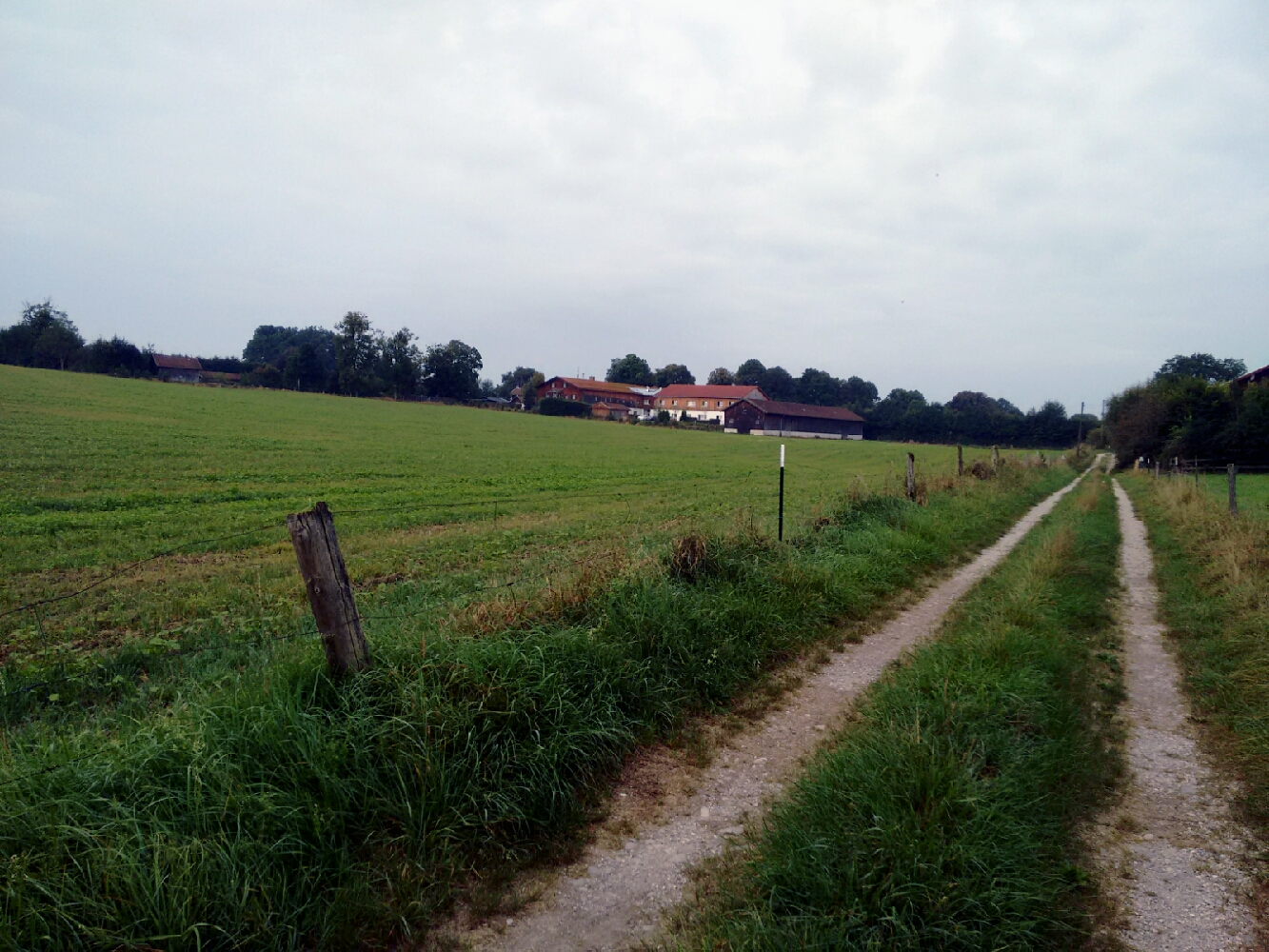
Herrnhausen is somewhat more substantial. On the hill behind the village we see some buildings of Eurasburg, whose municipality it is part of.
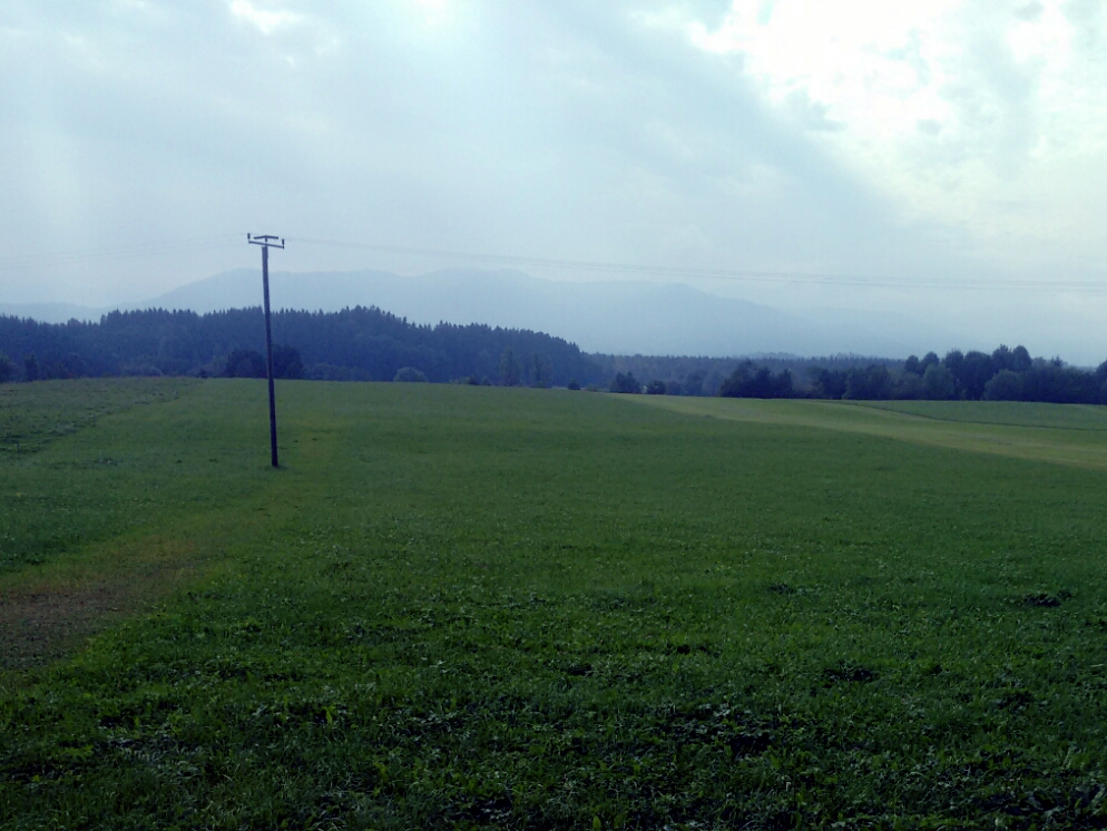
At Anglberg, a hill awards us with the first good view of the first chain of Alpine peaks.

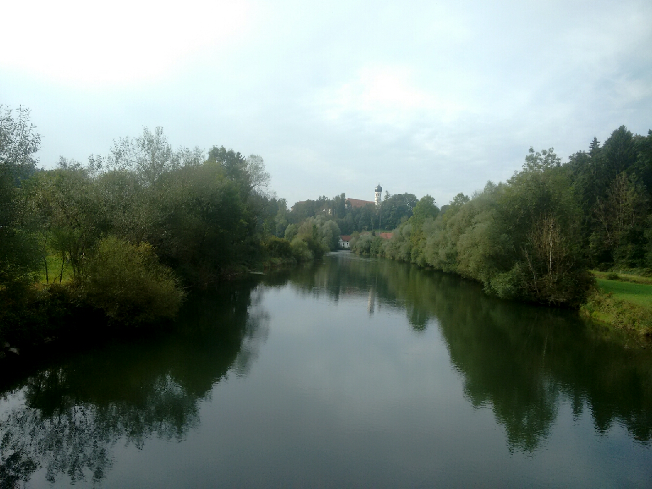
map We’re finally at the Loisach now. Like the Isar, it has its source in Tirol, the federal state of Austria where our destination lies, but they come from different areas: The Isar originates in the Karwendel, the mountain range we’ll meet towards the end of the hike. The Loisach rises much further west in the area of the Zugspitze. To get to the site of our first break today, we cross not just the Loisach but also one of its canals: When the Walchensee hydro power plant was built upstream, the city of Wolfratshausen started to suffer from floods, so this artificial riverbed was dug.
We finally make it to the Loisach after one and a half hours.
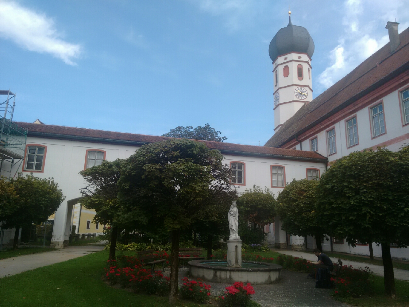
map With the exception of our starting point and our destination, Beuerberg is the only somewhat significant human settlement on our route today. It’s a lovely little spot with a history of more than a millennium, centred around an abbey which ceased to exist three years ago after the death of its last Mother Superior. For now, this seems to be the end of the monastery’s almost-900-year history, but the building still stands. Beuerberg even used to have a train station on a direct route to Munich and Wolfratshausen, but not any more, as this part of the Isartalbahn was shut down in 1972.
The monastery in Beuerberg used to house an abbey, but is now a museum.
As we leave Beuerberg, we find ourselves on a usefully named street: Alpenblickstraße, the "Glimpse of the Alps Street".
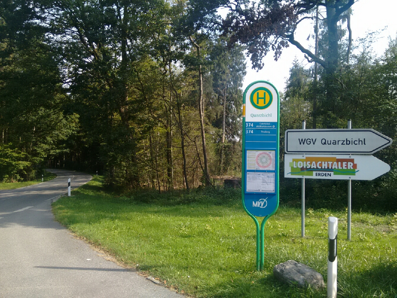
map Our way south from Beuerberg is a suspiciously well-built pedestrian and cycle path next to a (now not particularly busy) state road. This is because it is partly the result of a rails-to-trails conversion of the line to Beuerberg, which continued to Bichl, our destination today. map Public transport in and around Munich is organised by an authority known as the MVV. This association of county administrations is responsible for setting the timetables and fares in the area it covers. Every company that wants to transport passengers on regularly scheduled routes must contract with the MVV and abide by their rules. This is a very common system in German-speaking Europe and facilitates passenger-friendly systems which don’t, for example, charge you again when you change from a train to a bus. (This map of all such associations in Germany is somewhat reminiscent of the time when Germany didn’t exist yet.) The MVV’s area is quite large: Just now, on the third day of our hike, do we finally leave the realm of the MVV. Our student IDs would have entitled us to go back to the starting point free of charge until this bus stop. From here on, we’d have to pay.
The MVV, a useful practical guide to what one might consider the “Munich area”, ends here.
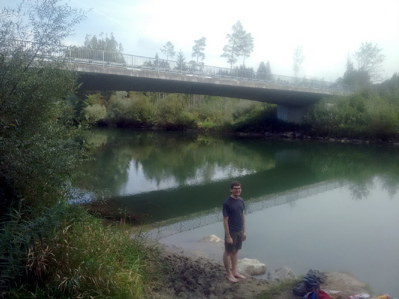
map A short walk south, we cross back to the right bank of the Loisach, the side we started at. Before that, though, we make use of the fact that we’ve reached the water at exactly 12 noon, and I repeat with Tobi what I did with David yesterday: Sit down for lunch at a river.
Tobi during our lunch break at the Loisach.
map After regenerating for a bit, it is time to return to the former railway to Bichl, now on the other side of the stream. map This takes us to Hohenbirken, where we cross the river once more. By now we have also come sufficiently close to the mountains so that we can identify individual trees.
A chapel and an Alpine view in Hohenbirken.

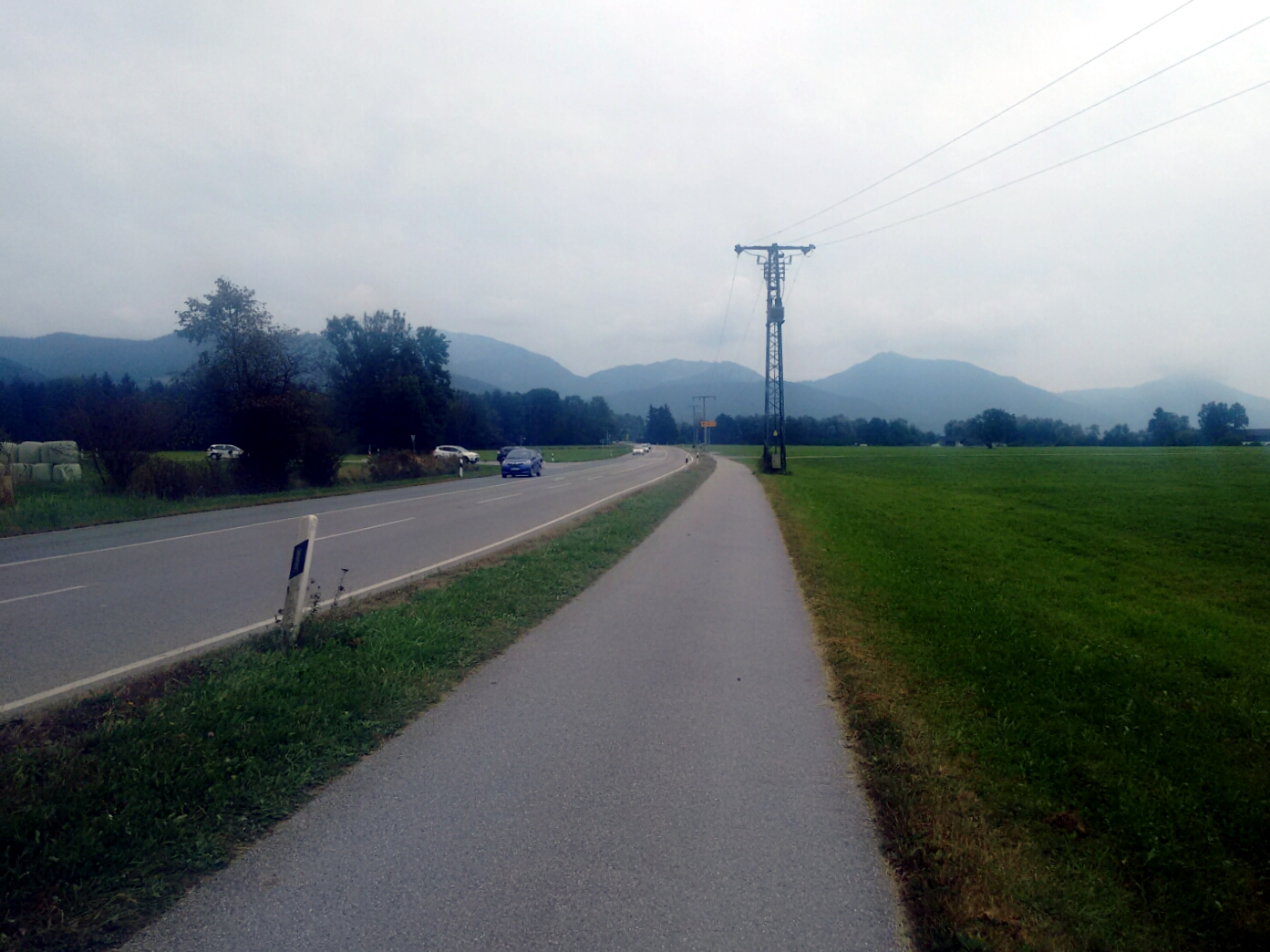
map The way on the left side of the Loisach follows its every bend. map This is the site of a wastewater treatment for the Penzberg area. We stop here for another short rest despite the odour. map As if to solidify my opinion of the area, we encounter a landfill soon after. map With that behind us we end up on another state road, one which goes directly to where we want to be.
The state road to Bichl.
map At least it would if we were cars: Unfortunately, the pedestrian path along the road forces us to take a detour around a junction with an overpass. To the great joy of our legs, we can check into today’s accomodation immediately. We also just made in time before the rain set in: Yesterday’s forecast suggested far worse, but now the clouds are doing their thing. I was planning to hike up a mountain with a marvellous panoramic view tomorrow, but if the weather makes this a pointless exercise, it’ll be a short day instead.
Last updated: 21 September 2016, 18:50
Moors, mountains and lakes