Last updated: 21 September 2016, 18:08 (all times in UTC+2)
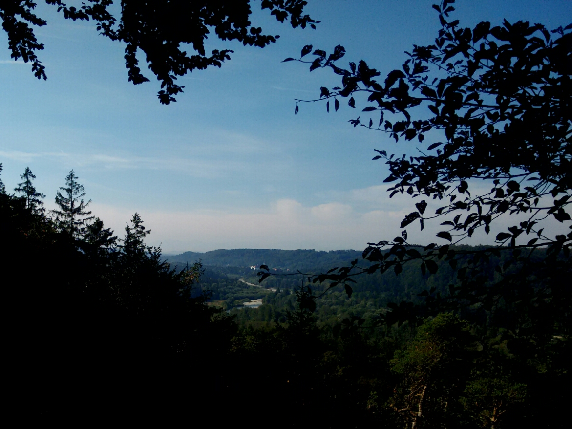
map After the first day’s walk on our route from Garching to Innsbruck, we got night’s rest in Grünwald, the municipality with the highest average per capital purchasing power in all of Germany. The fanciness has something to do with the proximity to Munich, the very attractive situation on the right Isar terrace, and the fact that the town is something like a small-scale “Bavarian hollywood”: Still a farming village in the early 20th century, it is now the location of Bavaria Film and has attracted a lot of celebrities and other wealthy people. The spaced out detached buildings give it a bit of a garden city look. It is also unusual as a place that shares an administrative border with Munich, but is not connected to it by heavy rail: The Isartalbahn (Isar valley railway) follows the opposite side on the river, but Grünwald has had a tram connection to the capital since 1910. It is the only place where tram tracks cross the city boundary, and as we found out yesterday, even the public transport screams money: Munich-bound trams depart every five minutes.
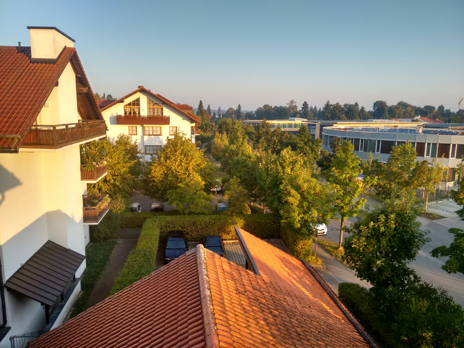
The view from our window in Grünwald.
David did not arrive by tram this morning, but by commuter train and bus. He will stand in for Tobi today, who decided to take a break after yesterday’s unexpectedly long stage; David and I will meet him again in the afternoon.
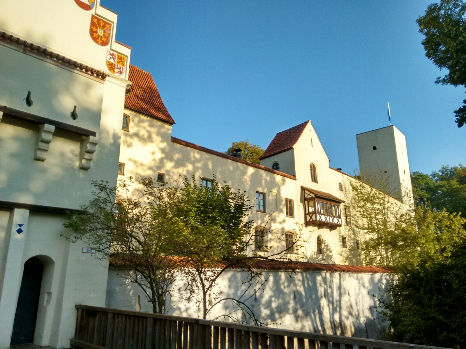
map For most of our route today, we’re not going to see a lot of things other than the Isar and its canals. We head back to the river in order to hike further south. The way there takes us past Burg Grünwald, one of only two castles in Greater Munich which has survived until today since the Middle Ages. It has a history as a hunting chateau, as a prison and as a gunpowder magazine. The earliest evidence for the castle’s existence dates back to the 12th century, but most of the current structure was built around 300 years later.
Burg Grünwald, now used as an archaeological museum.
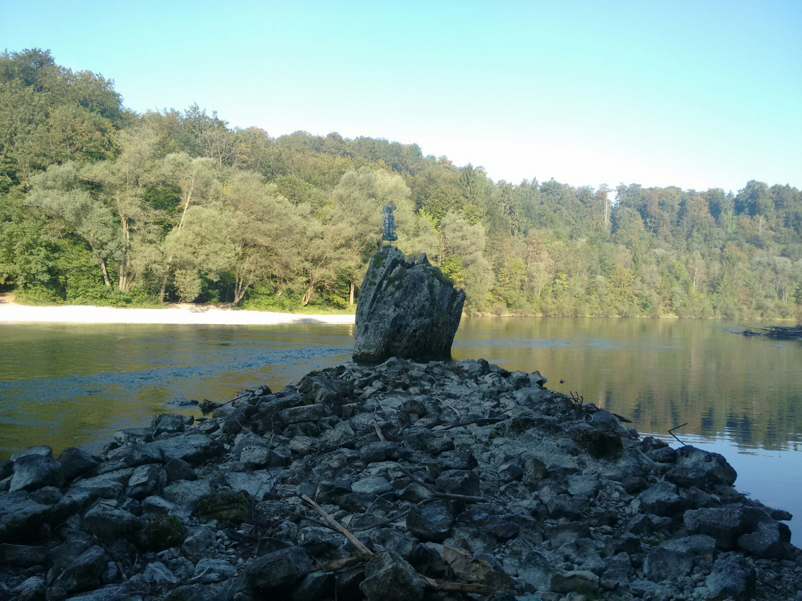
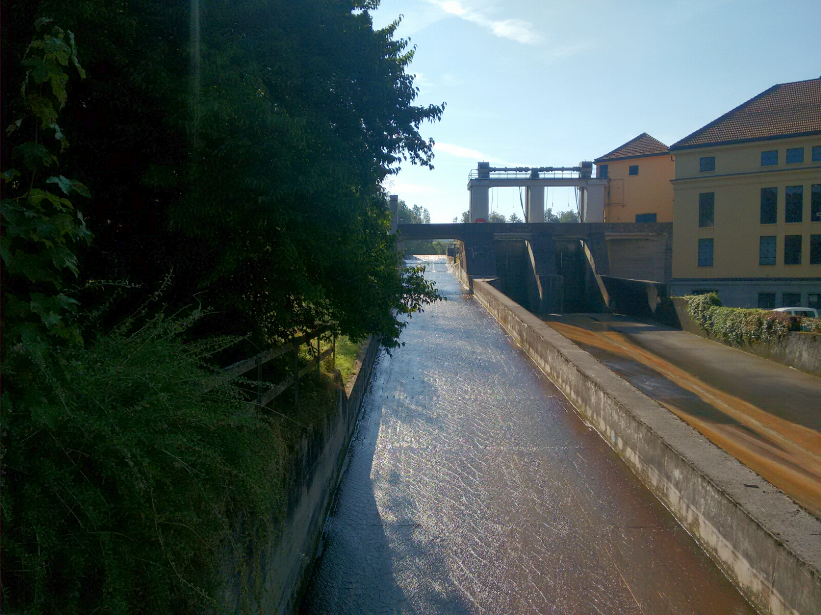
map Half an hour later, we encounter one of the many hydroelectricity plants along the Isar. More precisely, it is located at the Isarwerkkanal, a 12 km canal which moves a number of turbines from here to its end at Flaucher. map Around a bend, we find a large boulder sticking out of the Isar, significant enough to have a name: Georgenstein rises to an altitude of five metres above the water surface and creates enough of a turbulence to be of concern to raftsmen who transported goods and passengers downstream between the 13th and 19th centuries, until railways showed up as a better alternative.
Georgenstein. The name and the likeness of the Christian martyr and “Holy Helper” Saint George is said to trace back to a raftsman of the same name, Georg Müller, who capsized here around 1800.
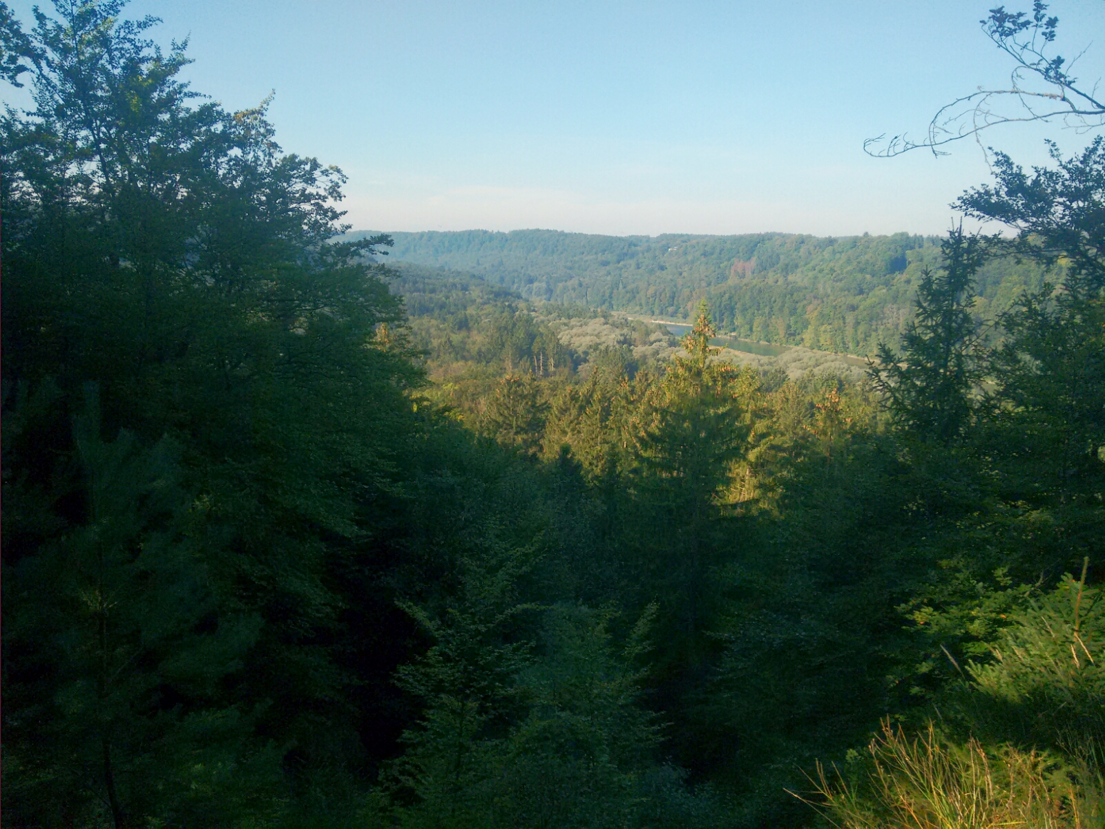
map South of Georgenstein, the path forces us to gain altitude, which—after a small detour—conveniently gives us a nice view of the Isartal.
View of the Isartal from above Georgenstein.
map In the Esterholz, a forest near the town of Straßlach, we can catch a quick glimpse of Germany’s highest mountain which is 75 kilometres away from here in the Werdenfelser Land. The valley of the river Loisach makes it possible to see that far in good weather.
View through the Loisachtal to Zugspitze, the highest peak in the Bavarian Alps at 2962 metres above sea level. It was very hard to see by naked eye and it’s impossible to make out in the photo.
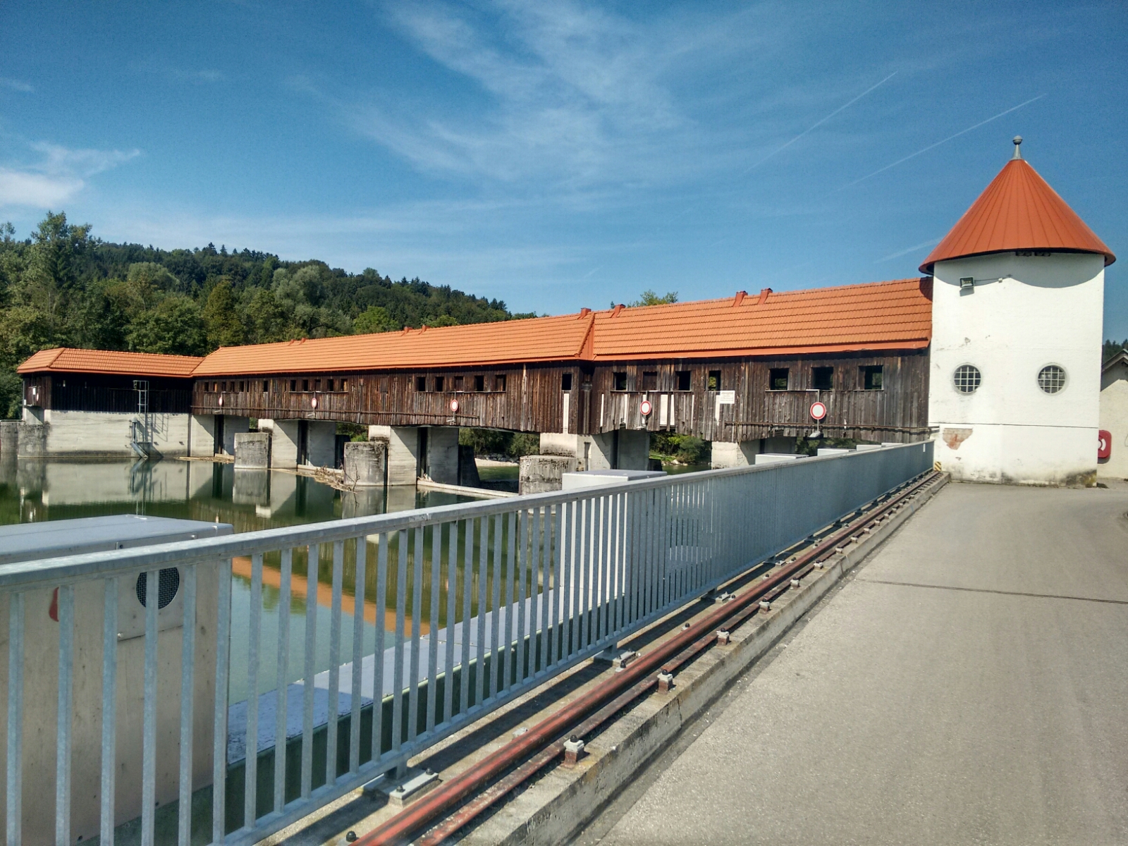
map In tiny Mühltal with its half dozen of houses, we find Europe’s longest flume for rafts and an allegedly rather nice traditional inn. Regrettably, it is too early for lunch. We cross the canal over another power plant to proceed to the west of the water, so as to avoid the paved road on the eastern bank.
The flume and power plant in Mühltal.
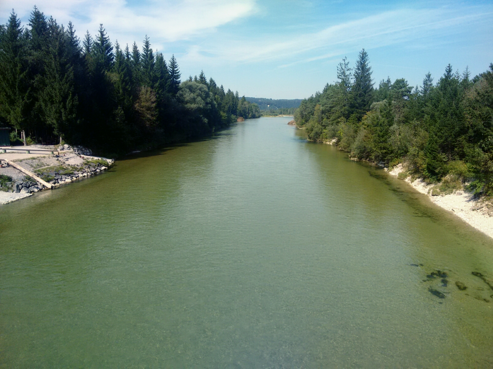
map After almost three kilometres of nothing in particular, the Dürnsteiner Brücke gives us the opportunity to cross the Isar, but we refuse the offer and stay where we are. map In Aumühle, the trout farm seems to take up more space than the rest of the village.
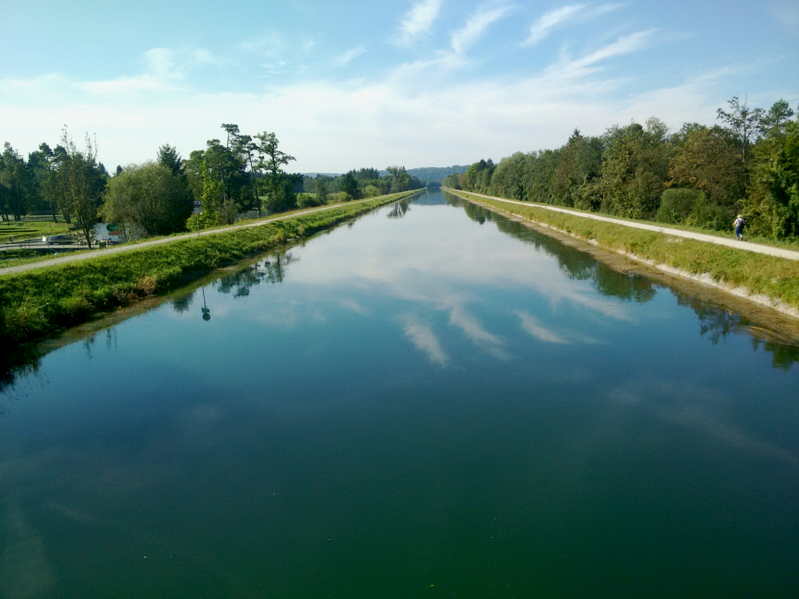
The Isarwerkkanal as seen from the bridge at Aumühle.
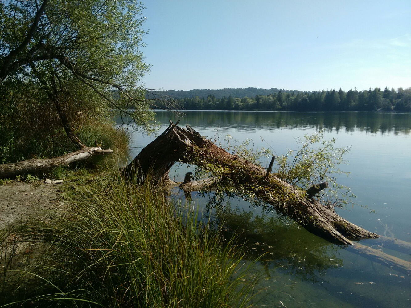
map Shortly thereafter, we find ourselves at Ickinger Stausee, a reservoir with a facultatively nudist beach. The lake is locally known as Eisweiher, “ice pond”, but it’s still summer here and nothing frozen to be seen. The path in the north of the lake also leads to a small beach along the Isar. At 12:00, as is customary, we stop for lunch here.
Our lunch break spot at the Isar near Eisweiher.

Ickinger Stausee, a reservoir used for recreational purposes.
map The canal ends (or rather begins) just upstream of the reservoir, and we cross it again via a bridge over a weir. Instead of following all the bends of the river, we use the access road to the weir as a shortcut.
After a bridge in Grünwald and another one in Dürnstein, the weir near Icking offers only the third opportunity to cross the Isar itself today. To do so, one would have to enter a small building and go upstairs.
map The area here on the right side of the Isar is known as the Pupplinger Au and is declared as a nature reserve to protect the riparian forest. map At the eastern edge of the Au, everyone in the small village of Puppling appears to make their living from day trippers by serving them food and drinks. map After about one day on the right side of the Isar, we finally cross back to the left side just before Wolfratshausen. If everything goes according to plan, we’ll only very briefly go back and forth once more on the second-to-last day of the tour.
We cross from the right side to the left side of the Isar before Wolfratshausen.
map We are now in Wolfratshausen, a small city that is closely linked to the historical practice of rafting on the Isar. In the mid-19th century, thousands of wooden rafts made their way from here to Munich via the river Loisach (the tributary of the Isar whose route we will explore tomorrow) and the Isar itself. For the most part, they supplied the growing city with building materials. Conveniently, timber was scarce in Munich but abundant upstream, so the rafts themselves were simply disassembled and repurposed after their arrival in Munich.
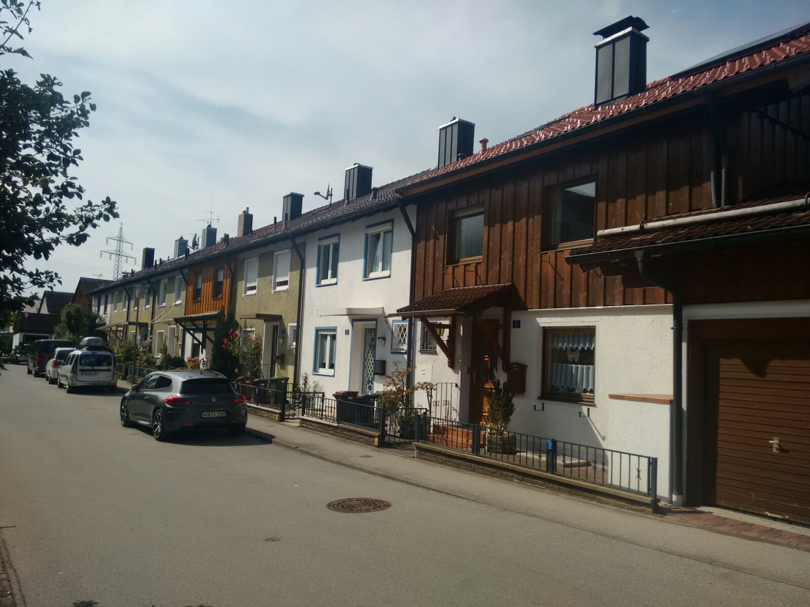
A street in Wolfratshausen. We don’t visit the city centre as it would be a bit of a detour.
map South of central Wolfratshausen we stop for a Russ’ (wheat beer shandy) each and pick up Tobi from a bus stop. He rested a bit and should be good again tomorrow.
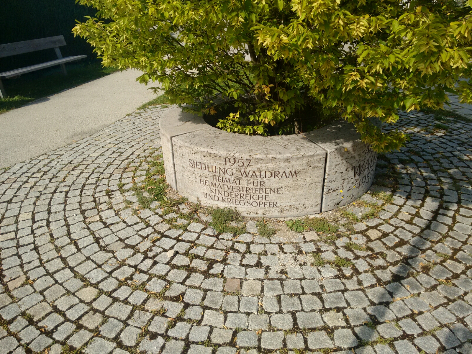
Waldram, the southernmost part of continuous Wolfratshausen, has a history as not just one type of war-related camp.
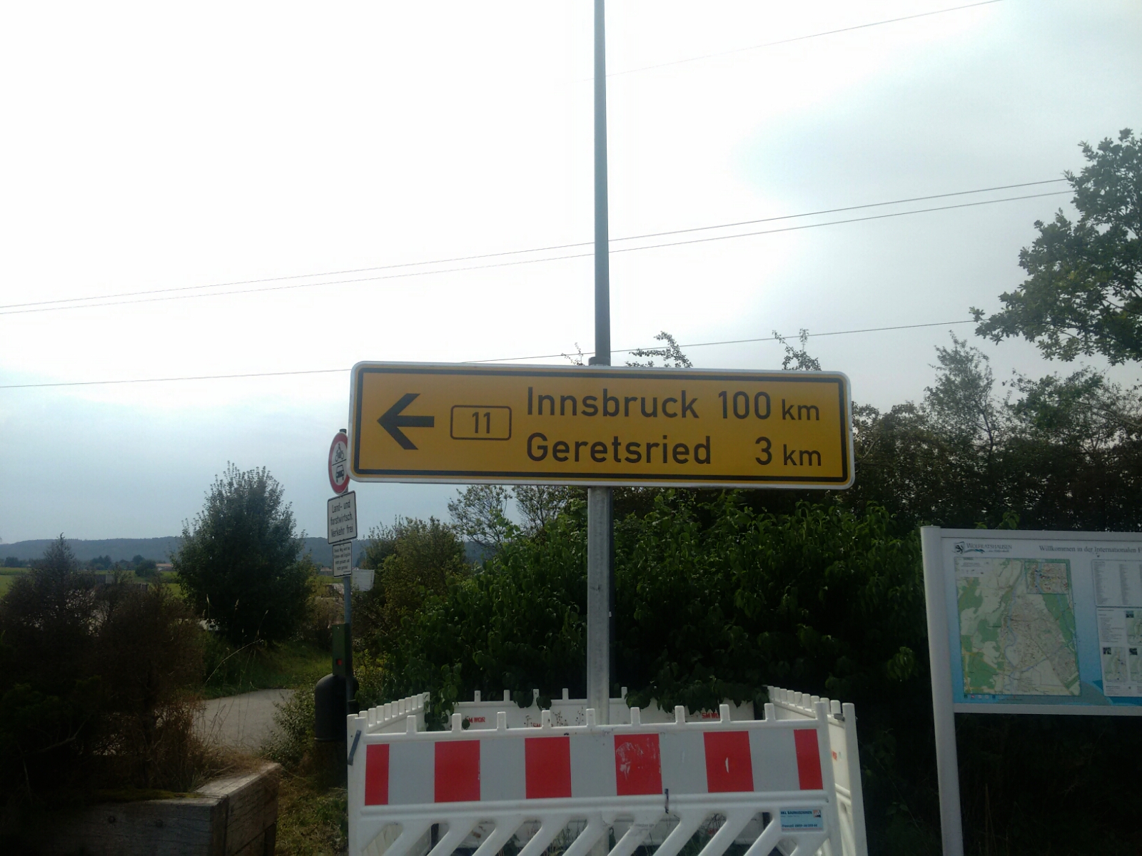
An unexpected photo opportunity arises when I pick up Tobi from the bus stop: Innsbruck is exactly 100 road kilometres away from here.
map We almost, but not quite, return to the Isar and follow it upstream to Gartenberg, a part of the city of Geretsried. map Tobi and I will spend night two here, and David takes the bus home for good. After a total hike of more than 60 km so far, the Alps feel very close. We’re going to get even closer tomorrow. Sadly, our luck with the weather is forecast to come to an end tomorrow. Some clouds have already arrived.
Last updated: 21 September 2016, 18:08
The Alps in the distance