Last updated: 21 September 2016, 18:08 (all times in UTC+2)
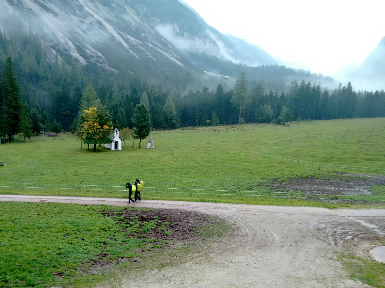
Morning view from our chalet dorm at Möslalm.
map When it gets dark in the mountains, it gets really dark, and so we found it easy to go to bed well before 22:00 yesterday. The night’s rest was as good as it gets from a Matratzenlager and the food was great. Since Almen are in the dairy business, both dinner and breakfast were heavily cheese-based, which is not to Martin’s preference but very much to mine. After breakfast, which included a remarkably mild Graukas, we don’t need to discuss our route any more, but just confirm that we want to stick to the original plan. There are a lot of possibilities to go from Möslalm to Innsbruck, such as via Pfeishütte and Arzler Scharte; via Hafelekar and its aerial tramway which allows you to travel to the city centre within minutes; or even via Solsteinhaus which doesn’t require much of an ascent. All of these are detours, though, compared to the direct path via the mountain saddle right underneath a peak known as Frau Hitt. Neither of us has been up there before. The landlady informs us that the climb of about 1000 metres of altitude takes some stamina and use of our hands, and that while the weather is not perfect, no snow has fallen recently and the path will be passable.
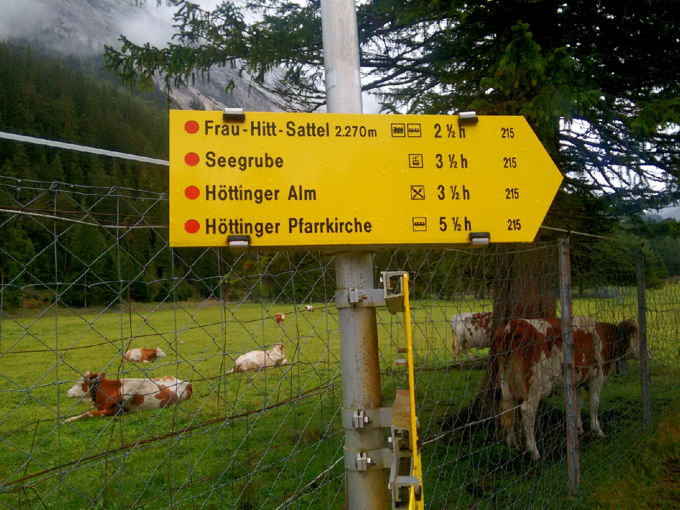
The trail sign at Möslalm points out the way to Frau Hitt and, amazingly, the church of Hötting—5 ½ hours away and practically in central Innsbruck.
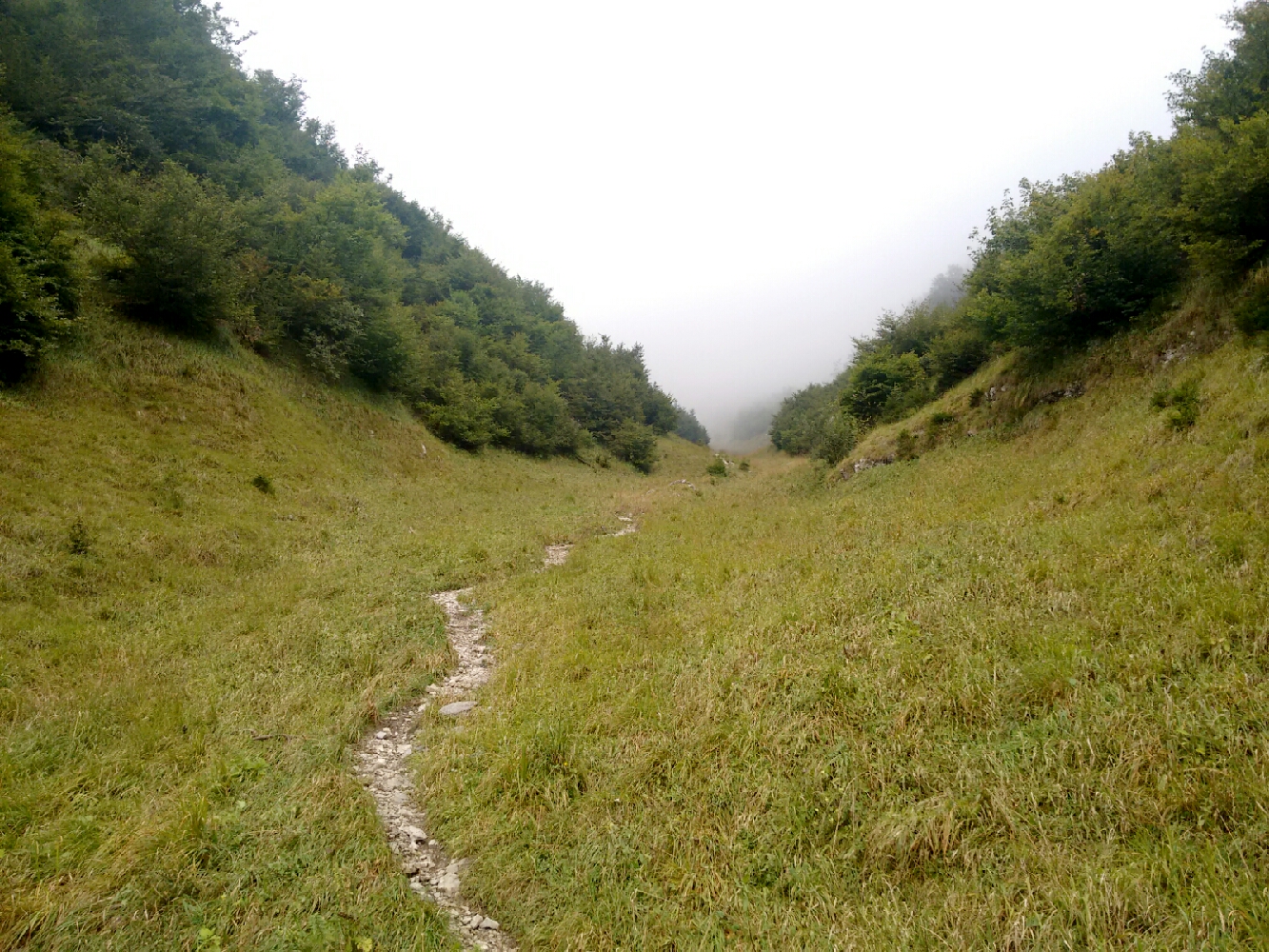
map Our first steps today follow the bed of a stream called Kleinkristenbach, which currently does not carry any water. map It isn’t long before the path almost disappears. To make up for it, waymarks painted on rocks and trees become more frequent and prominent.
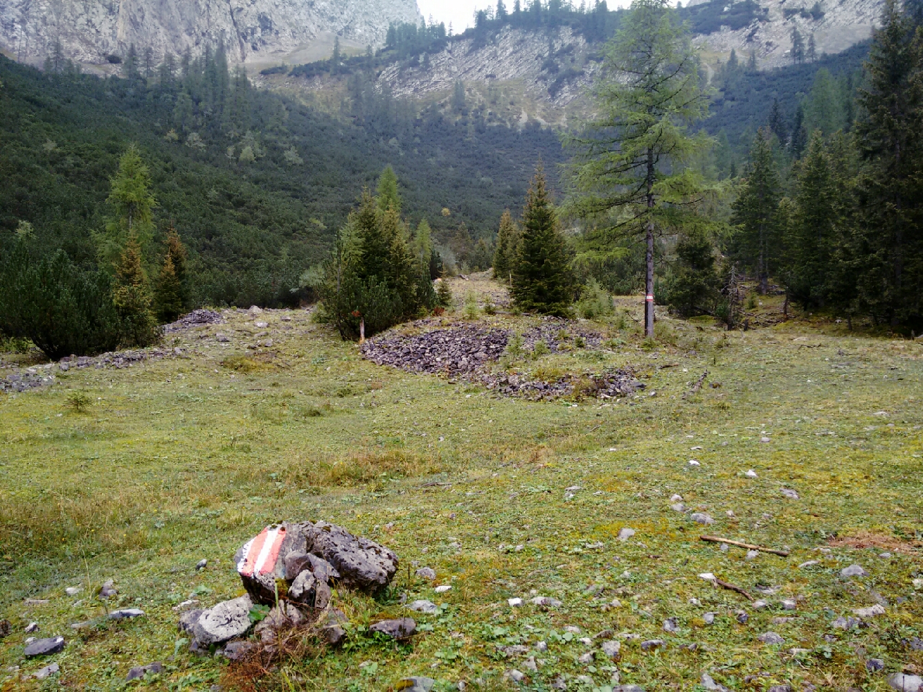
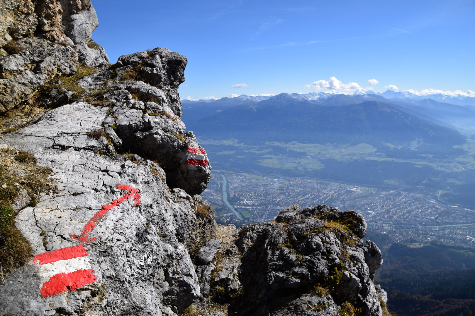
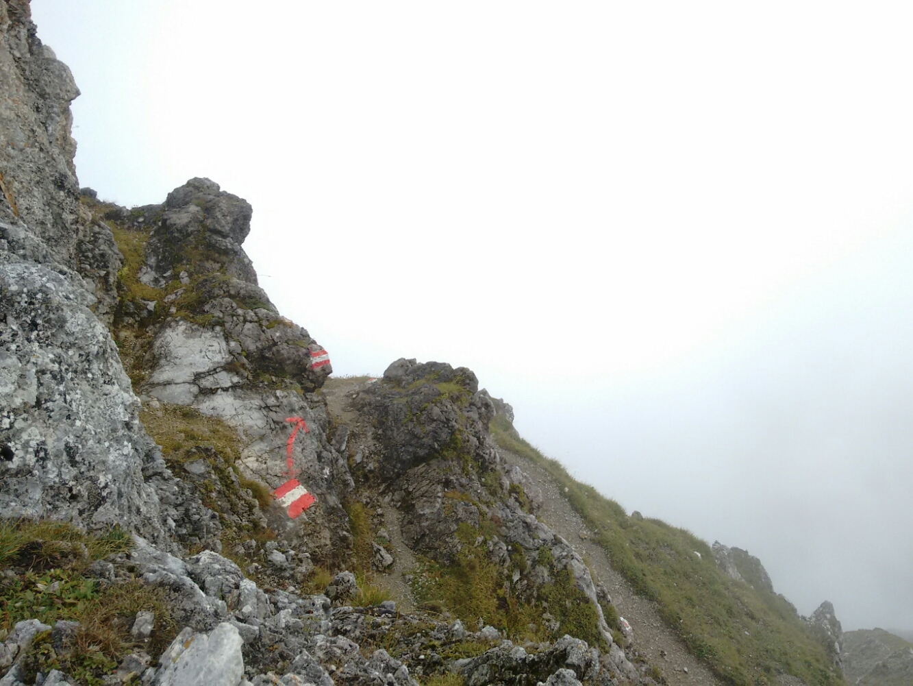
Red and white waymarks guide the way to Frau-Hitt-Sattel.
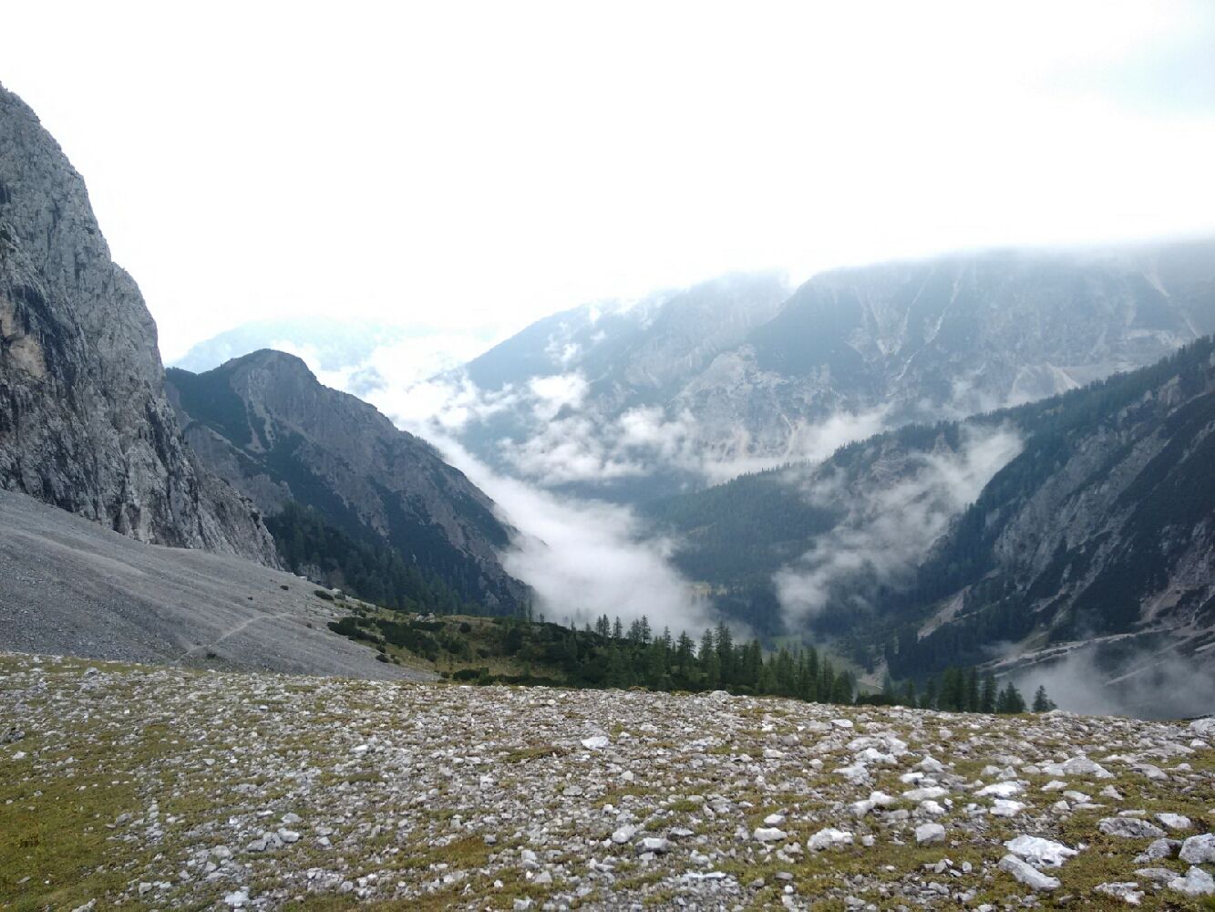
map We are above the timberline, and most of the remaining trees are the mountain pines we know as Latschen. We are still walking through grassland, but it is occasionally makes way for patches of coarse gravel.
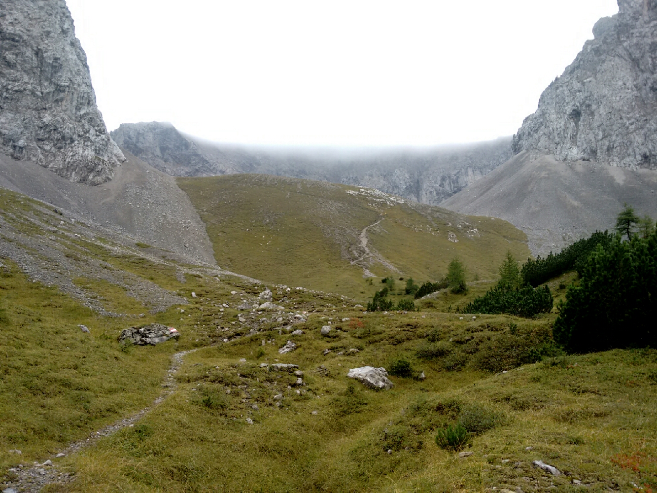
Clouds hide the peaks of the mountains in front of us. Frau Hitt hides behind the mountain face in the top left of the photo. The path is getting rather steep.
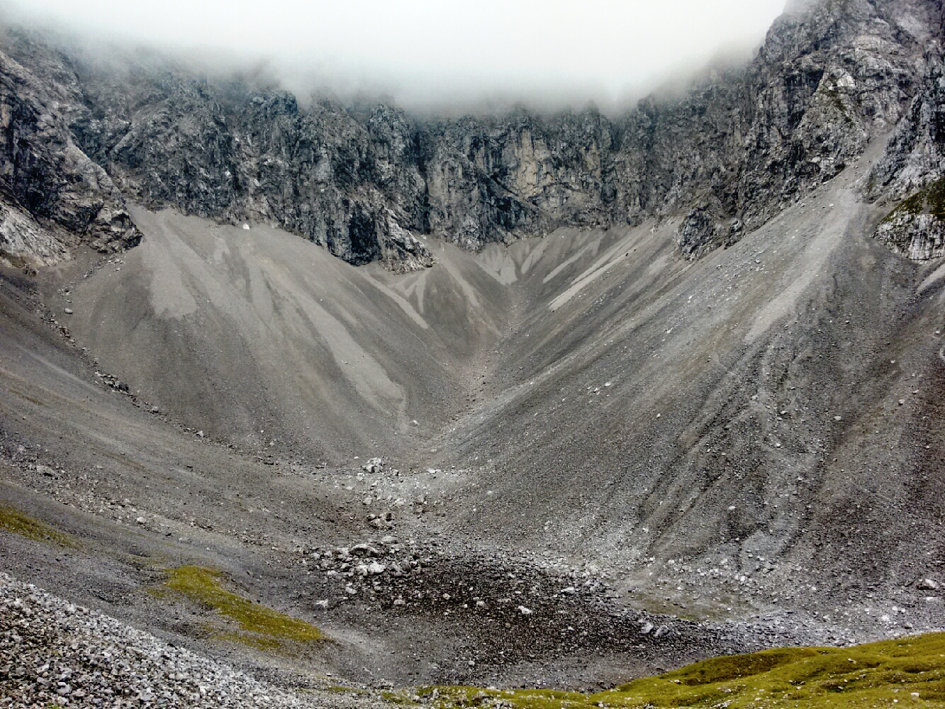
map After a climb for which we found it much easier to deviate from the waymarked route for a bit, we meet the trail coming from Solsteinhaus in the west. map There we climb a sort of hill to take a look back into the Karwendel. Low clouds prevent us from seeing down into the valleys we have come from, Gleirschtal and Kleinkristental. Ahead of us lies a Kar.
Behind us…
… and in front of us.
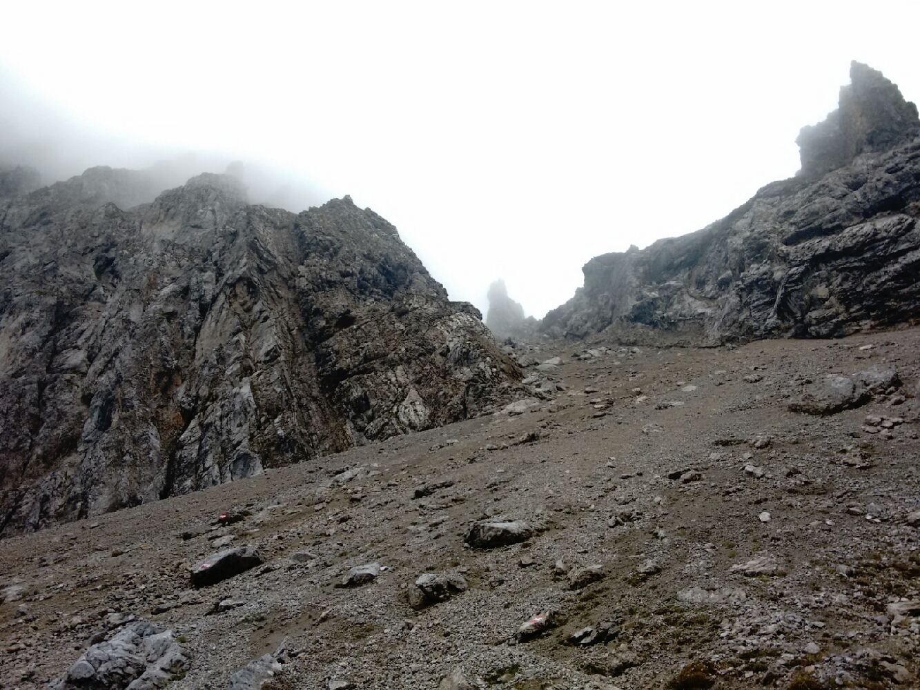
map Fortunately, we don’t have to descend into that valley, as the path to the mountain saddle lies to our left. The way keeps getting steeper and we need to tread carefully so that we don’t move the loose gravel and rocks with our feet; after all, we want to go up, not down. All of a sudden, Frau Hitt comes into view.
Frau Hitt finally shows itself. It’s the tiny-looking peak right in the centre of the picture.
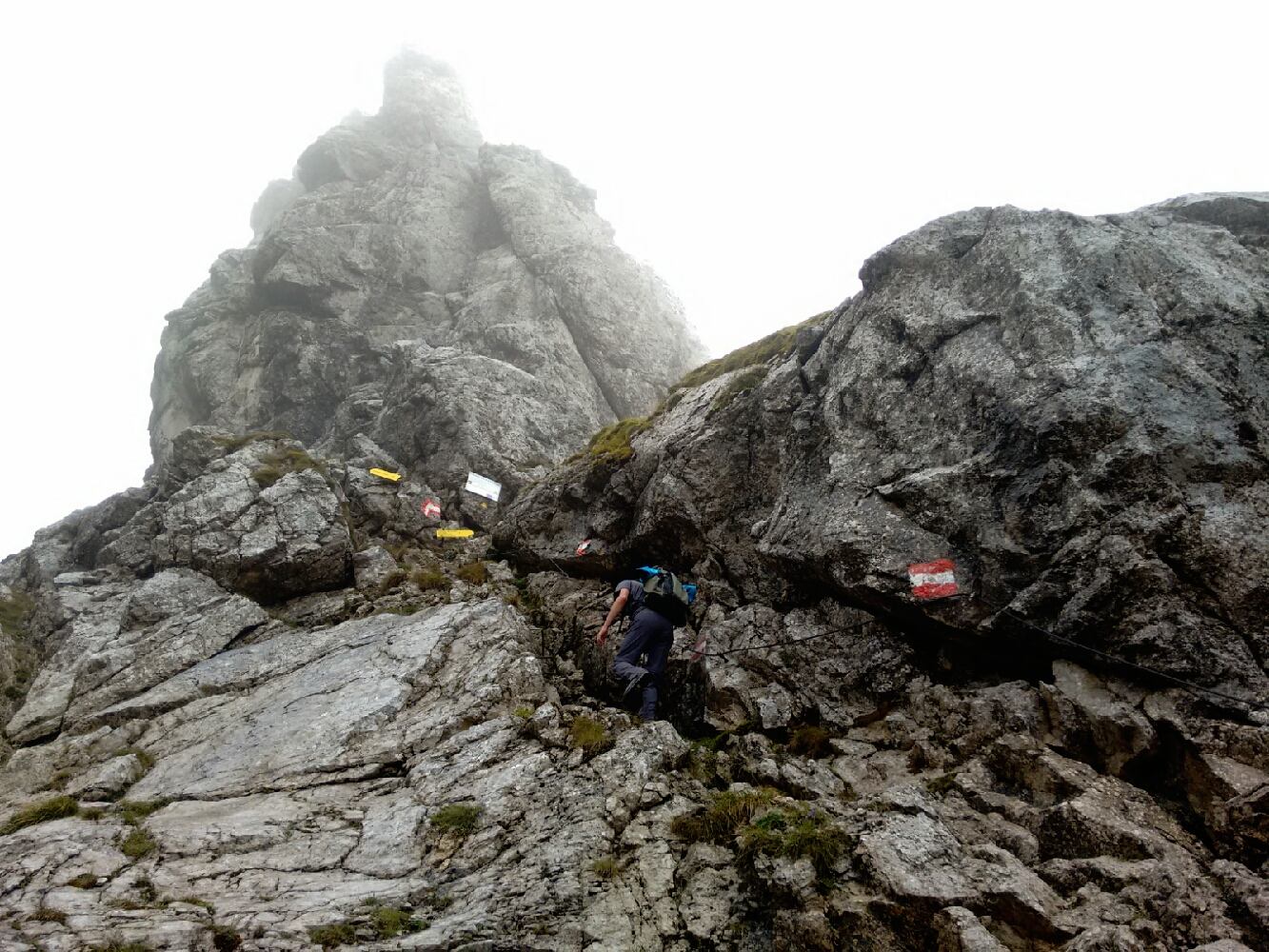
map My legs and feet are exhausted, so the last few metres are a bit of a comfort. A wire rope makes it possible to let my arms do some of the work instead.
The highest point of today, and indeed the entire journey, is within reach. We don’t want to climb Frau Hitt—the massive boulder—itself, just walk around it. On the other side, some 1700 metres below, lies Innsbruck.
map Frau Hitt is a legendary queen of giants who is said to have lived in the mountains above Innsbruck. When her son slipped into some mud while he was trying to break off a part of a tree, she had her servants clean him with bread. As punishment for this waste of food, a thunderstorm came in and petrified her. The view of the city can be amazing from underneath the rocky remnants of her and her son. We’re not so lucky.
On Frau-Hitt-Sattel with fog, nothing but fog. Why can’t the weather be like that instead?
map After a snack, we proceed downwards into the Inn valley. map Surprisingly, I don’t feel particularly exhausted, but my legs are now in a state that makes it difficult to make large steps downhill. I predict sore calf muscles for days. map So I’m full of joy when we spot a familiar fence with a weather station in the middle: map We have reached Höttinger Alm! Like Möslalm, it is a city-owned pasture and chalet, but far closer to the city itself. With its location just two hours or so above Innsbruck, it is an extremely popular destination with its residents. Martin and I have seen exactly two people today since our departure from Möslalm. We enter the public room of Höttinger Alm for lunch and find all the tables but one occupied.
The fog briefly clears while we’re having lunch at Höttinger Alm, revealing Innsbruck (including the building where my parents and I live) for the first time.
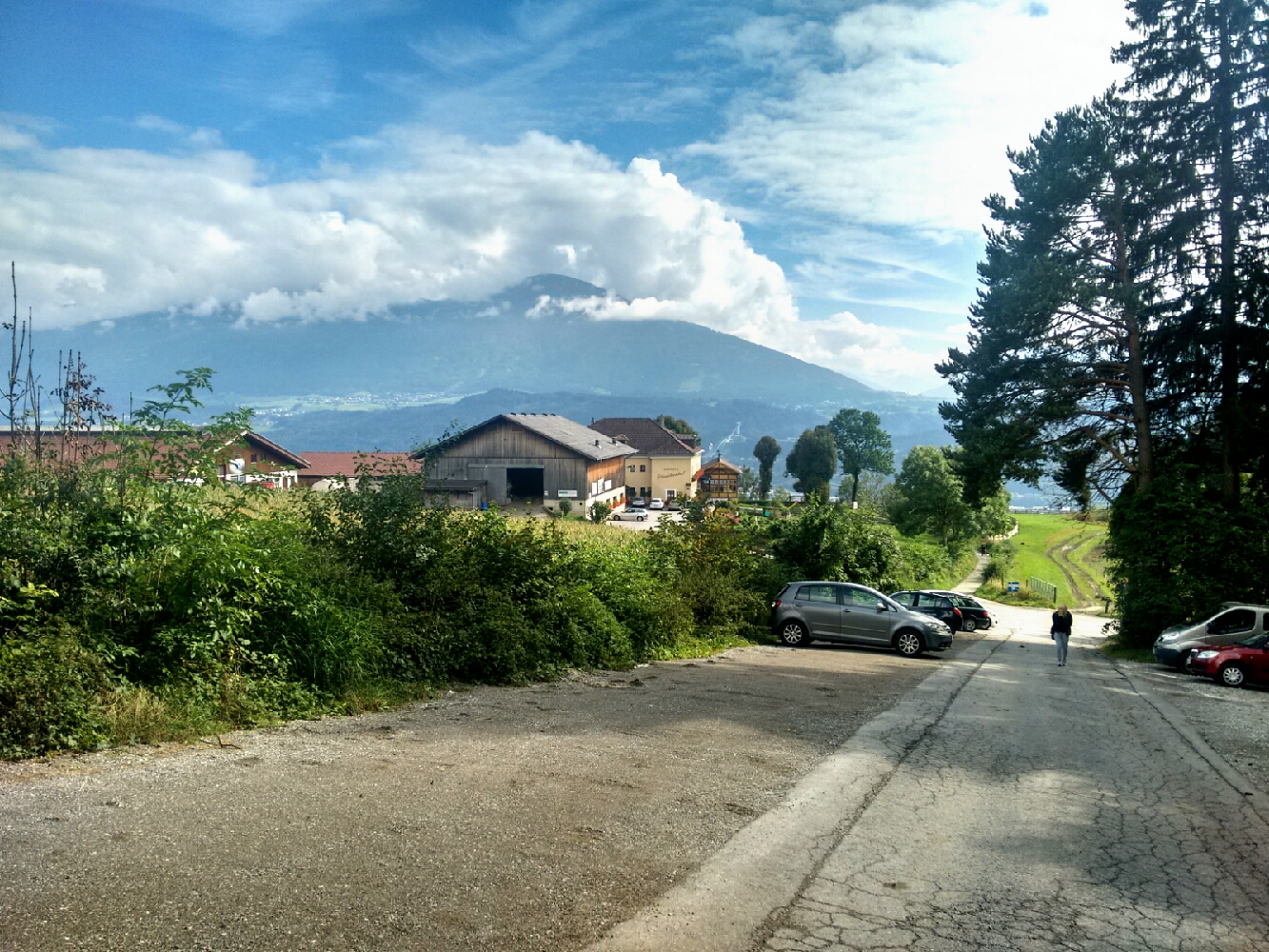
From here on, everything is routine: map Höttinger Bruch, map Höttinger Bild, map Planötzenhof, map Butterer Bichl.
We take Höttinger Bruch down from Höttinger Alm. The signpost which has taken us here said “für Geübte”, “experienced hikers only”.
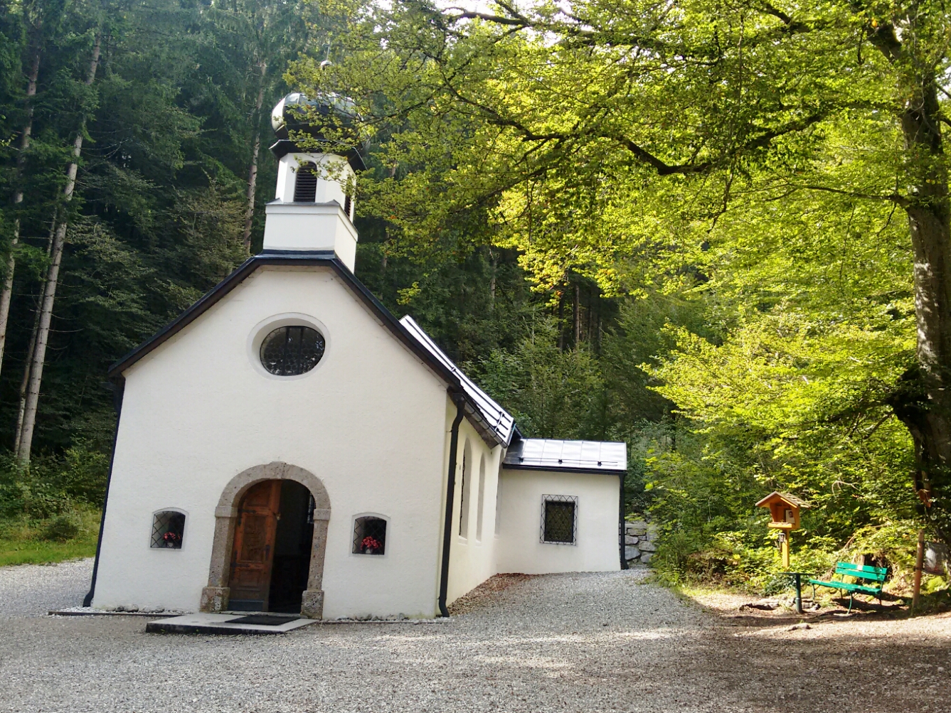
The weather is already much nicer now that we’re at Höttinger Bild, an old pilgrim church above Innsbruck.
The street near the restaurant Planötzenhof is the first asphalt surface we’ve seen since yesterday at noon.
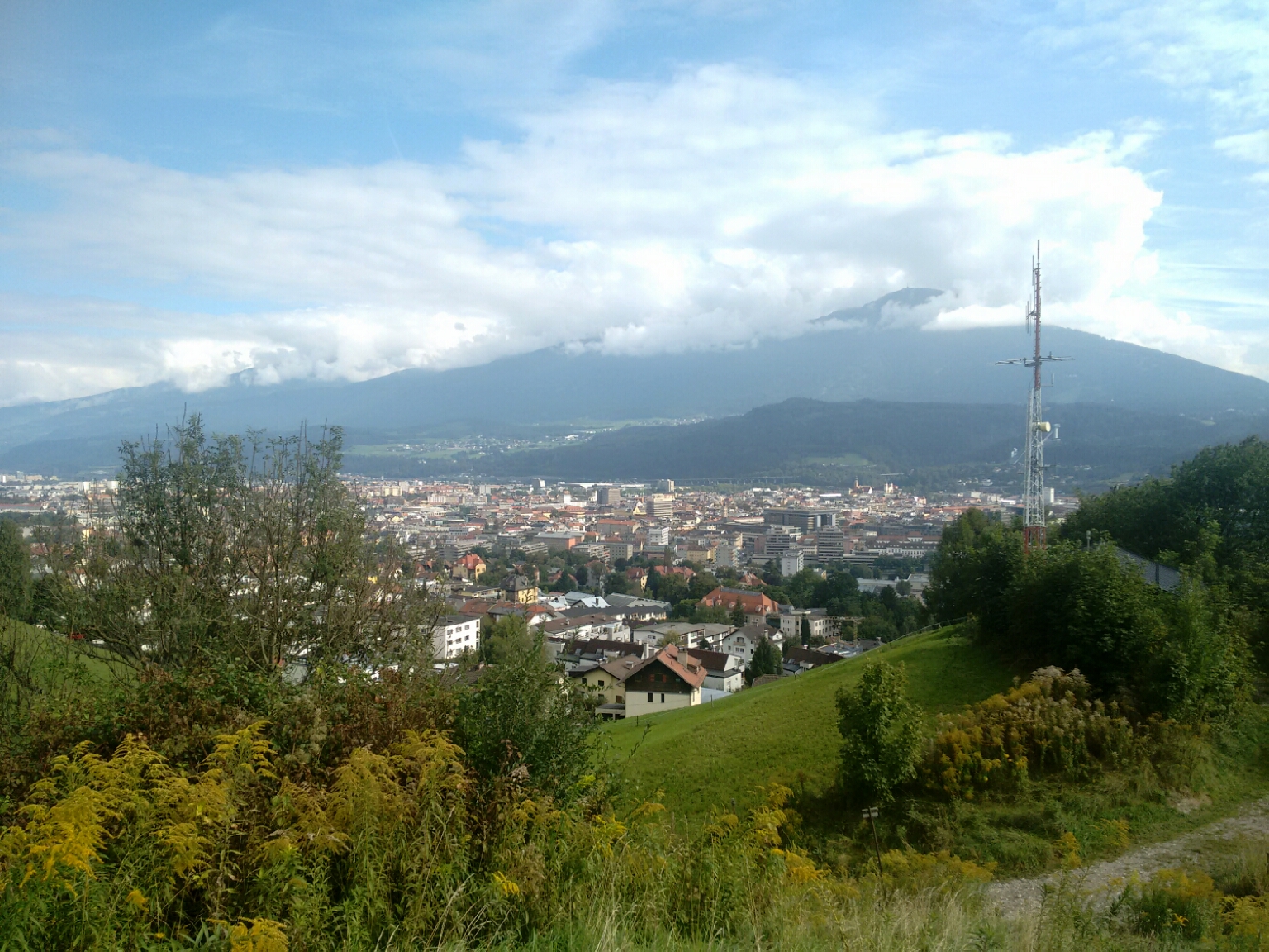
A view of the eastern half of the city from Butterer Bichl.
map Martin leaves me as we cross Schneeburggasse. Both of us are almost home, but he lives a bit further west than I do. map For me, that’s just southeast of Innsbruck Airport, so the usual roar tells me that my journey is practically over.
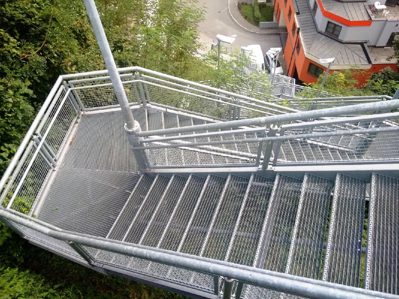
Alone again, I lose the final superfluous metres of altitude via a set of metal stairs. Innsbruck shows me what a tiny place it actually is: Just after I take this photo, I meet an old friend from my first eight years of school.
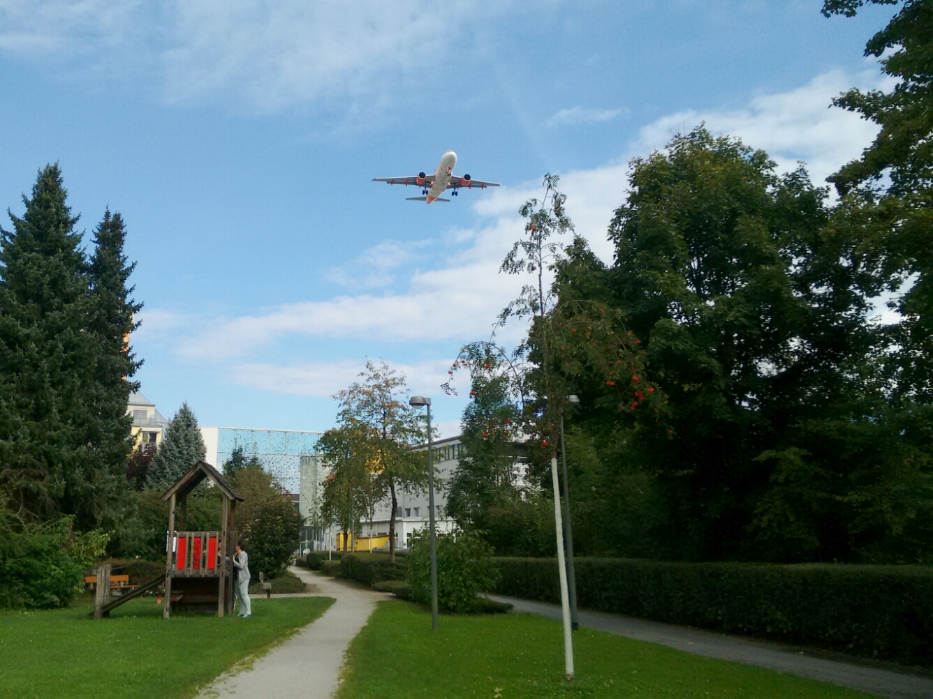
A plane approaches Innsbruck Airport over a playground.
map And thus, past the kindergarten and the elementary school where I spent a big part of my childhood, I reach Tiergartenstraße. This is it, and it was awesome. Thanks to the ten people who joined me for one or more days over the course of this trip, and my regrets to the two friends who wanted to join but fell ill. It was, or would have been, a great pleasure to have you with me.
Last updated: 21 September 2016, 18:08
Imprint