Last updated: 21 September 2016, 18:08 (all times in UTC+2)
map It’s dropout day today: After our third night, Tobi decides that he’s not going to join me all the way, but take most of today off and leave me tomorrow; another friend planned to come for the latter half of the trip, but is now ill and stuck at home. Nonetheless I’m not alone: Another David (not the same as on days one and two) meets me at the starting point today and is going to walk along for two days.
Bichl was our host for the last night. It was a wet one, and this morning doesn’t look good either. Because we’re unsure if it’s going to get any better or worse, we simply get going. Bichl’s name is simply a Bavarian word for a small hill, the one on which the village church is located, but we don’t even stop there as it’s a little out of the way and we cannot see much anyway. The straightforward naming of the village is in line with some of the other places in the area: There are a Gschwendt and a Ried (both referring to cleared woodland) as well as an Ort (i.e. a place). As you might imagine, none of these are metropoleis.
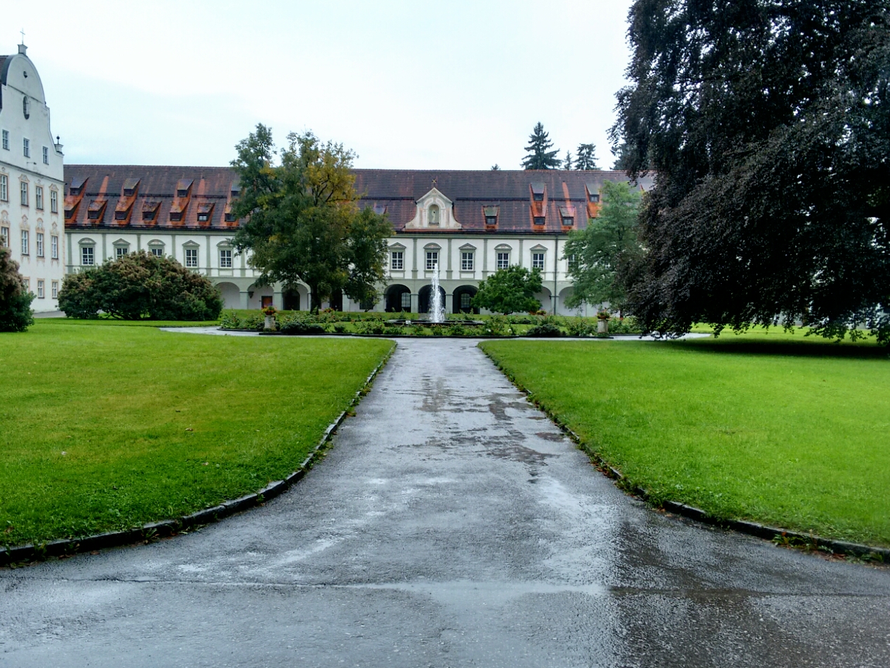
map Our next waypoint, Benediktbeuern, is a little more significant as the site of another very old abbey. It was formerly called Buron and used to be a Benedictine monastery, but is now called Benediktbeuern just like the town and belongs to the Salesians of Don Bosco, who run a part of the building as a youth hostel. The former Latin version of the abbey’s name can be found in the Latin adjective “Burana”, as in Carmina Burana, thus named because this collection of 254 texts from the 11th and 12th century was found here. The Benediktenwand is a nearby 1801 metre high ridge that takes its name from the modern designation of the monastery. It is one of Munich’s backyard mountains.
A courtyard of the monastery in Benediktbeuern.
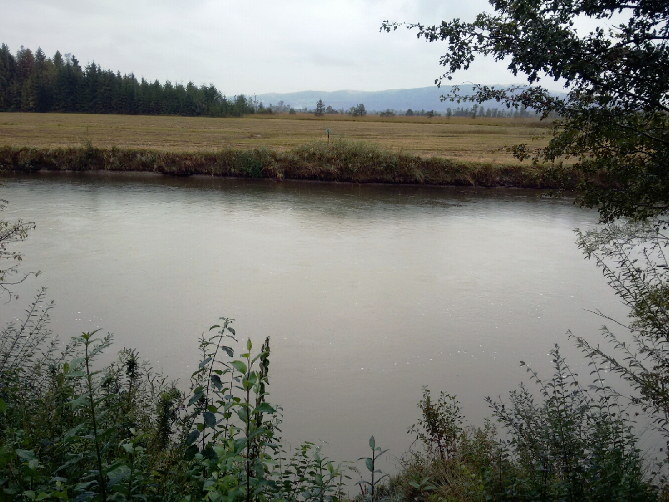
map South of the monastery our route briefly follows the Kochelseebahn, a railway line finished in 1898 which provides a direct connection to Munich (the city’s central station is an hour away). map We turn onto a path back to the Loisach to avoid the nearby busy federal road and the noise that comes with it.
The Loisach near Benediktbeuern.
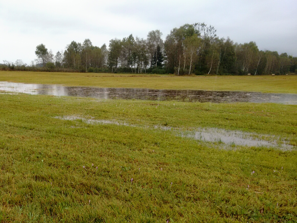
map We’re walking along the edge of the Loisach-Kochelsee-Moore, a 15,000-year-old moor landscape and nature reserve. It is home to about a fifth of the Bavarian whinchats, a bird which is very common in Europe overall, but declining rapidly in population in Bavaria due to agriculture. We were not fortunate enough to hear their characteristic hue-teck-teck, let alone spot one of them.
A moory landscape near Benediktbeuern.
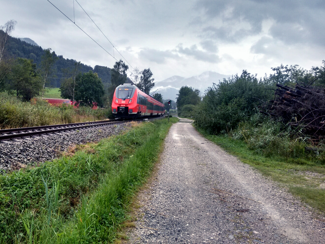
map We return to the railway again. map From here it isn’t far to Ort, located immediately behind the tracks, but there’s nothing interesting there for us.
A train passes us on our way past the moors.
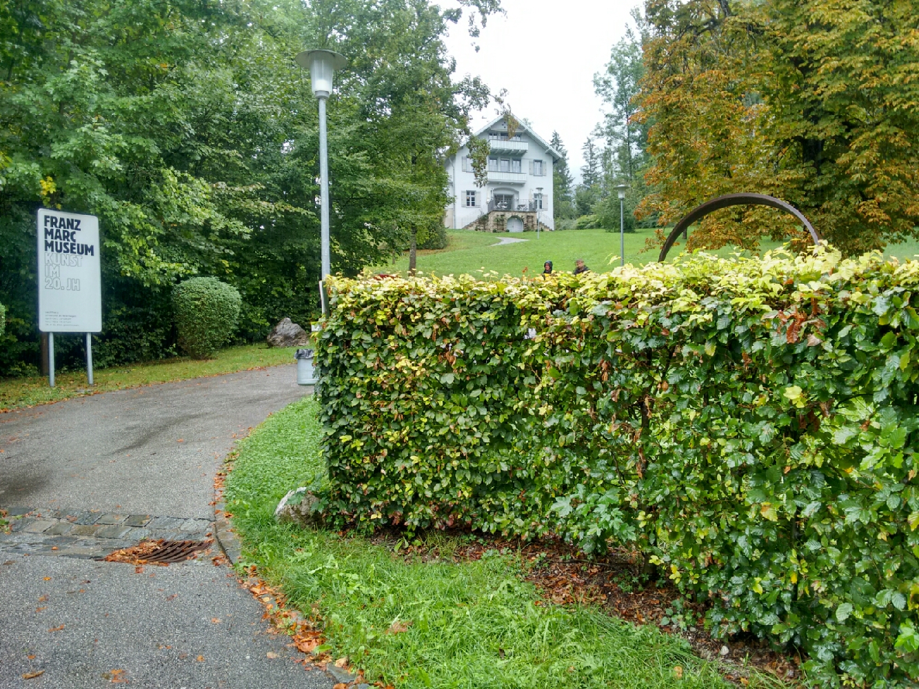
map Our lunchtime destination is Kochel, an abbey town like Benediktbeuern and indeed founded at the same time in the 8th century. Kochel is the centre of the Zweiseenland, the “Land of Two Lakes”: The town is located directly at the shore of Kochelsee, and also not far from the larger Walchensee beyond a low mountain pass. The natural beauty of the area was appreciated by many artists. Most popularly, the Munich-born painter Franz Marc made the area his subject many times and is honoured with a museum located in Kochel.
Franz Marc Museum in Kochel.
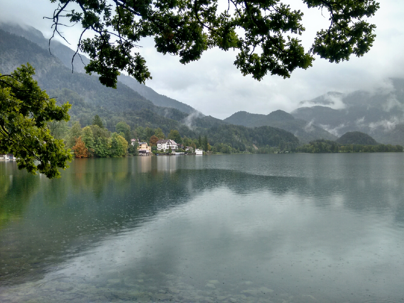
Kochelsee seen from the south of Kochel.
map After lunch we’re forced to return to the federal road. Some poor souls have pitched their tents at one of the camping sites in rainy Kochel. map The area of Kochel has been settled since 1600 BCE. A remarkable hill, the Birg, was the site of a prehistoric fortress.
The Birg, a hill in Kochel.

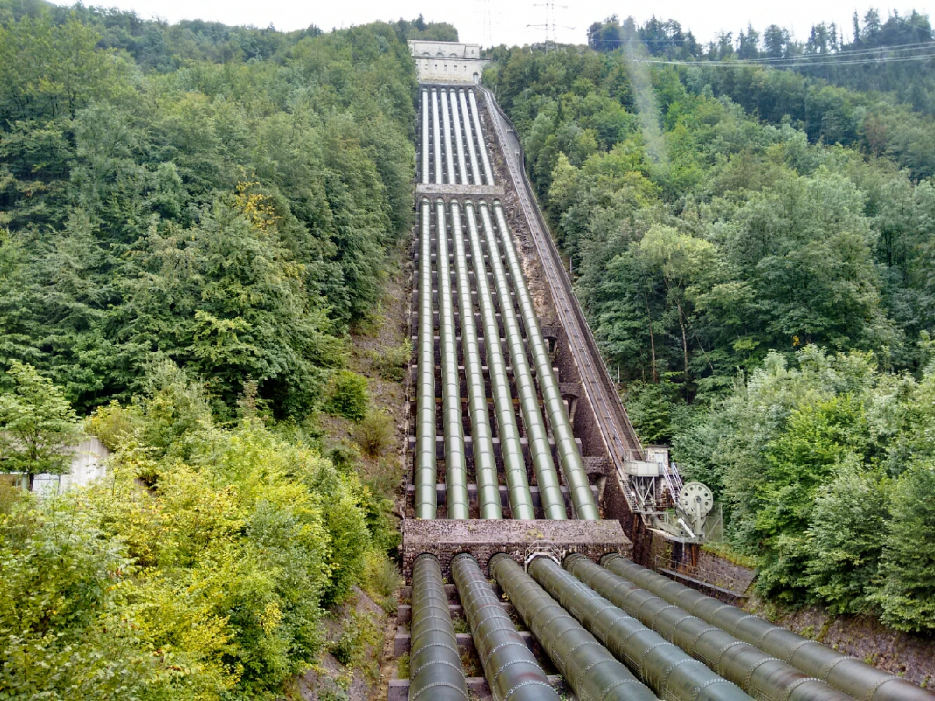
map Nowadays, the Walchensee hydro power plant is nearby. It artificially connects Walchensee and Kochelsee; the former is located at a higher altitude and water rushes down an impressive set of tubes at times of peak demand. Together with the power plant, a set of canals was built upstream to supply Walchensee with extra water. The operation of the power plant nonetheless lowers the water gauge of Walchensee by up to six metres. For that reason, lorry traffic is occasionally restricted on the federal road along the western shore of Walchensee: The authorities aren’t sure that the road would be stable enough to support them without the water pressure from the lake.
The water driving the turbines of the Walchensee power plants comes down these tubes.
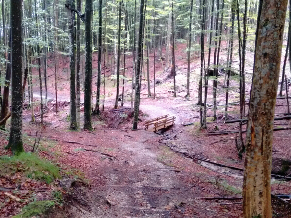
map My original plan for today was to hike up to Herzogstand, a peak with a great view of both lakes. In today’s weather, we didn’t find this a particularly great idea, and some delays in the morning also meant that we’re a bit late. We still go up the mountain a little bit. map After a very steep first climb, the grade becomes more manageable. This is the first substantial uphill route, a surprisingly pleasant change after three days and a half of almost completely flat land. map Some parts of the path are a bit hard to find.
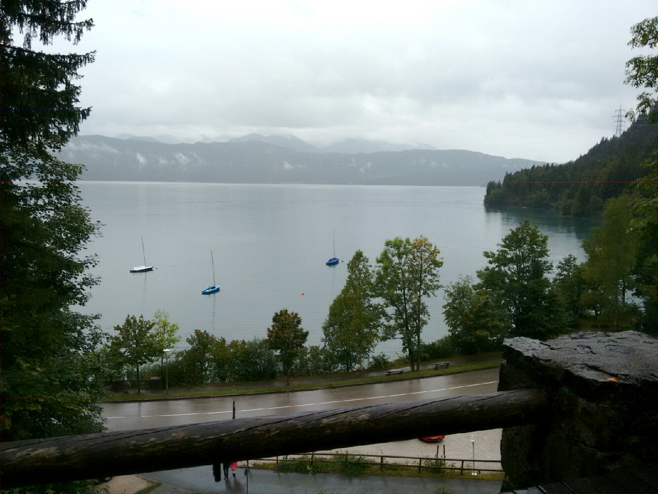
map Coming from higher up, the last few metres to our next accomodation are downhill. We hope for a glimpse of Walchensee, at whose shore our destination is located, but the forest is difficult to see through. map We’re luckier at the terrace of our youth hostel, which is the first place where each of us has a bed of their own. Some 30 kilometres are left from here to the German-Austrian border. David and I will cover most of this distance tomorrow.
We descend to our destination, the youth hostel in Urfeld.
View of Walchensee from the hostel terrace.
Last updated: 21 September 2016, 18:08
Back to the Isar